
Monte Rogers
Highest mountain in Virginia
Mount Rogers is the highest natural point in Virginia, United States, with a summit elevation of 5,729 ft (1,746 m) above mean sea level. The summit straddles the border of Grayson and Smyth Counties, Virginia, about 6.45 mi (10.38 km) WSW of Troutdale, Virginia.
Nº Q688645 ★
Comum · Lugares
Monte Rogers
Highest mountain in Virginia
Mount Rogers is the highest natural point in Virginia, United States, with a summit elevation of 5,729 ft (1,746 m) above mean sea level. The summit straddles the border of Grayson and Smyth Counties, Virginia, about 6.45 mi (10.38 km) WSW of Troutdale, Virginia.
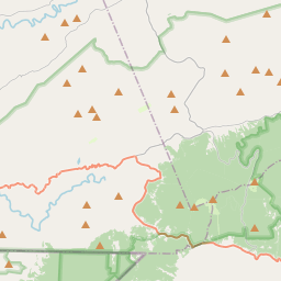
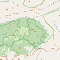
No mapa
Último preço
—
Preço mínimo
—
Mediana 7 d
—
Vendas 30 d
0
Faixa 30 d
—
Em circulação
0
Cotação
mediana
mín – máx
vendas
Sem vendas no período
Ver tabela
| Data | mediana | Mín | Máx | vendas |
|---|
Histórico de vendas
- Última venda
- —
- Média 30 d
- —
- Mínima 30 d
- —
- Máxima 30 d
- —
- Vendas 7 d
- 0
- Vendas 30 d
- 0
Ainda sem vendas.
Vendas anônimas: sem comprador nem vendedor. Os números contam só vendas entre jogadores.
Na Wikipédia
Texto em inglês Ainda não há artigo no seu idioma: trecho em inglês.
Mount Rogers is the highest natural point in Virginia, United States, with a summit elevation of 5,729 ft (1,746 m) above mean sea level. The summit straddles the border of Grayson and Smyth Counties, Virginia, about 6.45 mi (10.38 km) WSW of Troutdale, Virginia. Most of the mountain is contained within the Lewis Fork Wilderness, while the entire area is part of the Mount Rogers National Recreation Area, which itself is a part of the Jefferson National Forest. The mountain is named for William Barton Rogers, a Virginian educated at the College of William & Mary, who taught at William & Mary and the University of Virginia, became Virginia's first State Geologist, and went on to found the Massachusetts Institute of Technology. The summit is most easily accessed from Grayson Highlands State Park by following the Appalachian Trail southbound for 3.5 mi (5.6 km) to a blue-blazed trail leading to the summit, which is covered by trees and marked with four National Geodetic Survey triangulation station disks; a standard station disk marked with an equilateral triangle and three standard reference disks marked with arrows pointing towards the station disk. One reference disk has been obscured by dense overgrowth. Because the Appalachian Trail passes within a half mile of the summit, the area is especially popular with hikers.
Texto: Wikipédia em inglês, CC BY-SA 4.0. · Imagem: USDA-FS (Public domain) ·
Cartas próximas

Cumberland Mountains
Subrange of the Appalachian Mountains in the United States
Nº Q1143699 ★

Pico Granite
Montanha em Montana, Estados Unidos
Nº Q599777 ★★

Taconic Mountains
Mountain range in the northeastern United States
Nº Q2477664 ★

Monte Mansfield
Highest mountain in Vermont, United States
Nº Q573840 ★★

Mount Davis (Pennsylvania)
Highest point in Pennsylvania
Nº Q3660 ★★

Monte Elbert
Grande montanha do estado americano do Colorado, nas Montanhas Rochosas
Nº Q657225 ★★★