
Palakkad district
District in Kerala, India
Palakkad district (Malayalam: [pɐːlɐkːɐːɖɨ̆] ) is one of the 14 districts in the Indian state of Kerala. It was carved out of the southeastern region of the former Malabar District of Madras State on 1 January 1957.
Nº Q1535742 ★
Comum · Lugares
Palakkad district
District in Kerala, India
Palakkad district (Malayalam: [pɐːlɐkːɐːɖɨ̆] ) is one of the 14 districts in the Indian state of Kerala. It was carved out of the southeastern region of the former Malabar District of Madras State on 1 January 1957.
No mapa
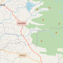
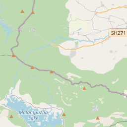
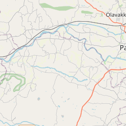
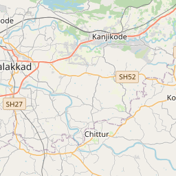
Último preço
—
Preço mínimo
—
Mediana 7 d
—
Vendas 30 d
0
Faixa 30 d
—
Em circulação
0
Cotação
mediana
mín – máx
vendas
Sem vendas no período
Ver tabela
| Data | mediana | Mín | Máx | vendas |
|---|
Histórico de vendas
- Última venda
- —
- Média 30 d
- —
- Mínima 30 d
- —
- Máxima 30 d
- —
- Vendas 7 d
- 0
- Vendas 30 d
- 0
Ainda sem vendas.
Vendas anônimas: sem comprador nem vendedor. Os números contam só vendas entre jogadores.
Na Wikipédia
Texto em inglês Ainda não há artigo no seu idioma: trecho em inglês.
Palakkad district (Malayalam: [pɐːlɐkːɐːɖɨ̆] ) is one of the 14 districts in the Indian state of Kerala. It was carved out of the southeastern region of the former Malabar District of Madras State on 1 January 1957. It is located at the central region of Kerala and is the second largest district in the state after Idukki. The town of Palakkad is the district headquarters. Palakkad is bordered on the northwest by the Malappuram district, on the southwest by the Thrissur district, on the northeast by Nilgiris district, and on the east by Coimbatore district of Tamil Nadu. The district is nicknamed "The granary of Kerala". Palakkad is the gateway to Kerala due to the presence of the Palakkad Gap, in the Western Ghats. The 2,383 m high Anginda peak, which is situated in the border of Palakkad district, Nilgiris district, and Malappuram district, in Silent Valley National Park, is the highest point of elevation in Palakkad district. Palakkad town is about 347 kilometres (216 mi) northeast of the state capital, Thiruvananthapuram. The total area of the district is 4,480 km2 (1,730 sq mi) which is 11.5% of the state's area which makes it the second largest district of Kerala. Out of the total area of 4,480 km2 (1,730 sq mi), about 1,360 km2 (530 sq mi) of land is covered by forests. Most parts of the district fall in the midland region (elevation 75–250 m or 246–820 ft), except the Nelliampathy-Parambikulam area in the Chittur taluk in the south and Attappadi-Malampuzha area in the north, which are hilly and fall in the highland region (elevation > 250 m or 820 ft). Attappadi valley of Palakkad district, along with the Chaliyar valley of the neighbouring Nilambur region (Eastern Eranad region) in Malappuram district, is known for natural Gold fields, which...
Texto: Wikipédia em inglês, CC BY-SA 4.0. · Imagem: Me haridas (CC BY-SA 4.0) ·
Cartas próximas

Palakkad
City in Kerala
Nº Q1006240 ★★

Thrissur district
District of Kerala, India
Nº Q2429655 ★

Malappuram district
District of Kerala, India
Nº Q1030918 ★★
Palakkad railway division
Railway division of India
Nº Q7126631 ★★

Wayanad district
District of Kerala, India
Nº Q1364427 ★★

Kozhikode district
District of Kerala, India
Nº Q1142979 ★