

Comum · Lugares
Perambalur
Town in Tamil Nadu, India
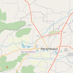
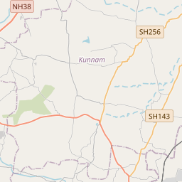
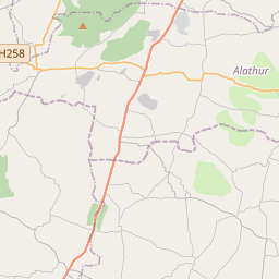
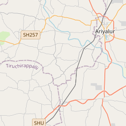
Perambalur is a Selection Grade Municipality is located in the heart of Tamil Nadu and is 267 kilometers South of the capital city of Chennai. The district covers an area of 1,757 square kilometers, located between 10.54' and 11.30' degrees of Northern latitude and 78.40' and 79.30' degrees of Eastern longitude.
No mapa
Na Wikipédia
Texto em inglês Ainda não há artigo no seu idioma: trecho em inglês.
Perambalur is a Selection Grade Municipality is located in the heart of Tamil Nadu and is 267 kilometers South of the capital city of Chennai. The district covers an area of 1,757 square kilometers, located between 10.54' and 11.30' degrees of Northern latitude and 78.40' and 79.30' degrees of Eastern longitude. There are no coastal lines in this inland district. The District has the Vellar River in the North and well-marked natural divisions. The most important irrigation resource is groundwater, accessed through tube wells and wells. Paddy, groundnut, sugarcane, millet, and cashew are the major crops grown in the district. Perambalur accounts for about 24% of the small onion produced in Tamil Nadu and holds first place in state production. As per the 2011 Census, the total population of the Perambalur District is 5,65,223. The density of the population in the district is 321 per sq. Km There is a set of 11th-century Buddha statues around the villages of Perambalur called Perambalur Buddhas.
Texto: Wikipédia em inglês, CC BY-SA 4.0. · Imagem: Dhinesh.ak (CC BY-SA 3.0) ·
Cartas próximas
-
 ★
★
Ariyalur
-
 ★★
★★
Karur
-
 ★★
★★
Perambur Assembly constituency
Constituency of the Tamil Nadu legislative assembly in India
-
 ★
★
Chennai metropolitan area
Village in Tiruvallur District, Tamil Nadu, India
-
 ★
★
Singaperumalkoil
-
 ★
★
Alandur Assembly constituency
Constituency of the Tamil Nadu legislative assembly in India