
Periyar River
River in India
The Periyar (Malayalam: [peɾijaːr], meaning: big river) is the longest river and has the largest discharge potential in the Indian state of Kerala. It is one of the few perennial rivers in the region and provides drinking water for several major towns.
Nº Q2634049 ★★
Incomum · Lugares
Periyar River
River in India
The Periyar (Malayalam: [peɾijaːr], meaning: big river) is the longest river and has the largest discharge potential in the Indian state of Kerala. It is one of the few perennial rivers in the region and provides drinking water for several major towns.
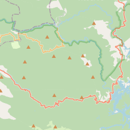
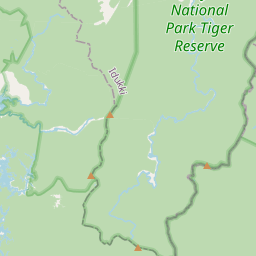
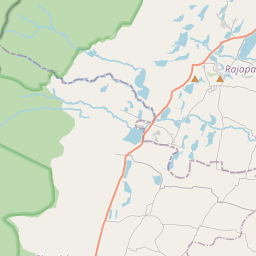
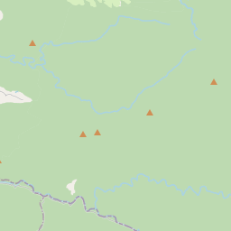
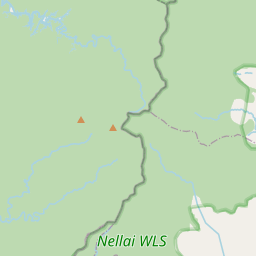
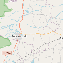
No mapa
Último preço
—
Preço mínimo
—
Mediana 7 d
—
Vendas 30 d
0
Faixa 30 d
—
Em circulação
0
Cotação
mediana
mín – máx
vendas
Sem vendas no período
Ver tabela
| Data | mediana | Mín | Máx | vendas |
|---|
Histórico de vendas
- Última venda
- —
- Média 30 d
- —
- Mínima 30 d
- —
- Máxima 30 d
- —
- Vendas 7 d
- 0
- Vendas 30 d
- 0
Ainda sem vendas.
Vendas anônimas: sem comprador nem vendedor. Os números contam só vendas entre jogadores.
Na Wikipédia
Texto em inglês Ainda não há artigo no seu idioma: trecho em inglês.
The Periyar (Malayalam: [peɾijaːr], meaning: big river) is the longest river and has the largest discharge potential in the Indian state of Kerala. It is one of the few perennial rivers in the region and provides drinking water for several major towns. The Periyar is vital to the economy of Kerala because it generates a significant proportion of Kerala's electrical power via the Idukki Dam and it flows along a region of industrial and commercial activity. The river also provides water for irrigation, domestic water use, and supports a rich fishery. Due to these reasons, the river has been named the "Lifeline of Kerala". Kochi city, in the vicinity of the river mouth, draws its water supply from Aluva, an upstream site sufficiently free of seawater intrusion. Twenty five percent of Kerala's industries are along the banks of the Periyar. These are mostly crowded within a stretch of 5 kilometres (3 mi) in the Eloor-Edayar region (Udhyogamandal), about 10 kilometres (6 mi) north of Kochi harbor.
Texto: Wikipédia em inglês, CC BY-SA 4.0. · Imagem: Challiyan at Malayalam Wikipedia (CC BY-SA 2.5) ·
Cartas próximas

Mullaperiyar Dam
Dam in Idukki District, Kerala, India
Nº Q2723522 ★★★

Idukki Dam
Dam in Kerala, India
Nº Q1656950 ★★

Periyar National Park
National park and wildlife sanctuary in Kerala, India
Nº Q548153 ★
Great flood of 99
Flood happened in the year 1924 in Kerala
Nº Q17053956 ★★

Thamirabarani River
River in India
Nº Q3429232 ★

Pamba River
River in India
Nº Q2641922 ★★