

Incomum · Lugares
Podkumok
River in Stavropol Krai and Karachay-Cherkessia, Russia
The Podkumok (Russian: Подку́мок) is a river in Stavropol Krai, Russia, right tributary of the Kuma. The length of the river is 160 km (99 mi). The area of its basin is 2,220 km2 (857 mi2).
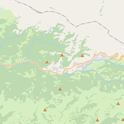
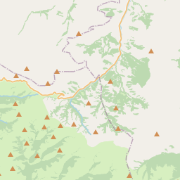
No mapa
Na Wikipédia
Texto em inglês Ainda não há artigo no seu idioma: trecho em inglês.
The Podkumok (Russian: Подку́мок) is a river in Stavropol Krai, Russia, right tributary of the Kuma. The length of the river is 160 km (99 mi). The area of its basin is 2,220 km2 (857 mi2). Originating in the Greater Caucasus, the Podkumok is widely used for irrigation. The biggest hydroelectric dam in Imperial Russia Water-powers Белые угли, built in 1903, was located on the Podkumok near Yessentuki. The towns of Kislovodsk, Yessentuki, Pyatigorsk, Georgiyevsk and urban-type settlements Goryachevodsky, Svobody are located on the Podkumok.
Texto: Wikipédia em inglês, CC BY-SA 4.0. · Imagem: User Ipaat on en.wikipedia (Public domain) ·


