
Ringelspitz
Mountain of the Glarus Alps
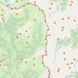
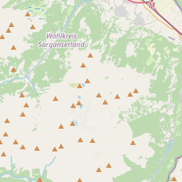
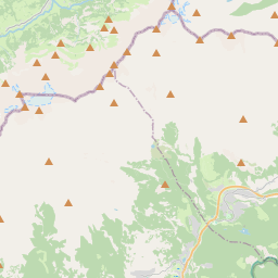
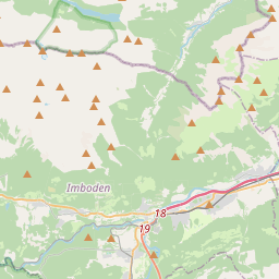
The Ringelspitz (in German), also known as Piz Barghis (in Romansh), is a mountain of the Glarus Alps, located on the border between the Swiss cantons of St. Gallen and the Grisons (Graubünden). It is split between three municipalities: Pfäfers (St. Gallen), Trin and Tamins (both in the Grisons).
Nº Q15137 ★★
Incomum · Lugares
Ringelspitz
Mountain of the Glarus Alps
The Ringelspitz (in German), also known as Piz Barghis (in Romansh), is a mountain of the Glarus Alps, located on the border between the Swiss cantons of St. Gallen and the Grisons (Graubünden). It is split between three municipalities: Pfäfers (St. Gallen), Trin and Tamins (both in the Grisons).
No mapa
Último preço
—
Preço mínimo
—
Mediana 7 d
—
Vendas 30 d
0
Faixa 30 d
—
Em circulação
0
Cotação
mediana
mín – máx
vendas
Sem vendas no período
Ver tabela
| Data | mediana | Mín | Máx | vendas |
|---|
Histórico de vendas
- Última venda
- —
- Média 30 d
- —
- Mínima 30 d
- —
- Máxima 30 d
- —
- Vendas 7 d
- 0
- Vendas 30 d
- 0
Ainda sem vendas.
Vendas anônimas: sem comprador nem vendedor. Os números contam só vendas entre jogadores.
Na Wikipédia
Texto em inglês Ainda não há artigo no seu idioma: trecho em inglês.
The Ringelspitz (in German), also known as Piz Barghis (in Romansh), is a mountain of the Glarus Alps, located on the border between the Swiss cantons of St. Gallen and the Grisons (Graubünden). It is split between three municipalities: Pfäfers (St. Gallen), Trin and Tamins (both in the Grisons). Reaching a height of 3,248 metres (10,656 ft) above sea level, it is the highest summit in the canton of St. Gallen. The Ringelspitz is the culminating point of a range, about 12 kilometres (7.5 mi) long, running from west to east and diverging from the main chain of the Glarus Alps between Piz Sardona and Piz Segnas. The massif separates the Calfeisen valley in the canton of St. Gallen from the Alpine Rhine Valley near Flims, the Grisons. The north side of the mountain consists of nearly 2,000 metres (6,600 ft) high precipitous cliffs overlooking the Gigerwaldsee (1,335 m [4,380 ft]). It is separated from the Calanda, located east of Ringelspitz, by the Kunkels Pass.
Texto: Wikipédia em inglês, CC BY-SA 4.0. · Imagem: Nicolas Zogg (CC BY-SA 3.0) ·
Cartas próximas
-

Piz Sardona
Mountain
Nº Q668503 ★
Sem ofertas
-

Tödi
Highest mountain in the Glarus Alps
Nº Q15134 ★★★
Sem ofertas
-

Alpes glaroneses
Nº Q327218 ★★★
Sem ofertas
-

Lago Pizolseen
Nº Q672737 ★★★
Sem ofertas
-

Dreiländerspitze
Mountain in the Silvretta at the border Vorarlberg / Tyrol / Grisons
Nº Q673909 ★★
Sem ofertas
-

Calanda (mountain)
Mountain in the Glarus Alps
Nº Q16529 ★★
Sem ofertas