

Comum · Lugares
Roydon
Village and civil parish in Epping Forest district, Essex, England, UK
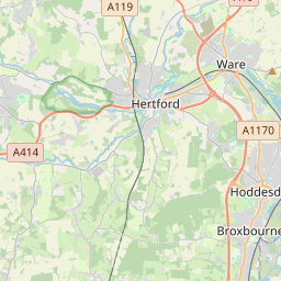
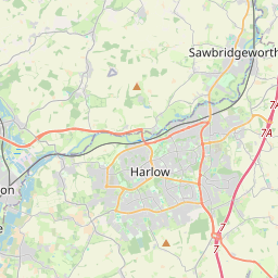
Roydon is a village and civil parish in the Epping Forest district of Essex, England. It is located 2 miles (3.2 km) west of Harlow, 4 miles (6.4 km) east of Hoddesdon and 5 miles (8.0 km) north-west of Epping, forming part of the border with Hertfordshire. At the 2021 census the parish had a population of 3,074.
No mapa
Na Wikipédia
Texto em inglês Ainda não há artigo no seu idioma: trecho em inglês.
Roydon is a village and civil parish in the Epping Forest district of Essex, England. It is located 2 miles (3.2 km) west of Harlow, 4 miles (6.4 km) east of Hoddesdon and 5 miles (8.0 km) north-west of Epping, forming part of the border with Hertfordshire. At the 2021 census the parish had a population of 3,074. The village lies on the Stort Navigation and River Stort. Roydon is recorded in the Domesday Book of 1086 as Ruindune, and appears later as Reidona in c. 1130, as Reindon in 1204, and as Roindon in 1208. The village has a village shop, sub post office, pharmacy and church. The church, St Peter's, dates from the Middle Ages and was given Grade I listed status on 20 February 1967. Briggens House, dating back to the 18th century, was used as a forgery centre for the WW2 SOE. Roydon was ranked as the best London commuter town in 2025.
Texto: Wikipédia em inglês, CC BY-SA 4.0. · Imagem: Nigel Cox (CC BY-SA 2.0) ·
Cartas próximas
-
 ★★
★★
Horodnie rural hromada
Municipality (hromada) in Bolhrad Raion, Odesa Oblast, Ukraine
-
H★★
Horodnia, Pryluky Raion, Chernihiv Oblast
Village in Ichnia Raion, Chernihiv Oblast, Ukraine
-
 ★★★
★★★
Rozdolne, Volnovakha Raion, Donetsk Oblast
Rural settlement in Volnovakha Raion, Donetsk Oblast (province), Ukraine
-
 ★★
★★
Rozdolne
Human settlement in Rozdolne Raion, Autonomous Republic of Crimea, Ukraine
-
 ★
★
Raynes Park
Area of south London, in the borough of Merton
-
 ★★★
★★★
Rodatychi
Village in Horodok Raion, Lviv Oblast, Ukraine