

Incomum · Lugares
Salat (river)
River in France
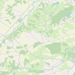
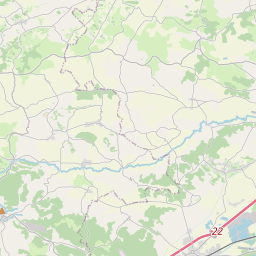
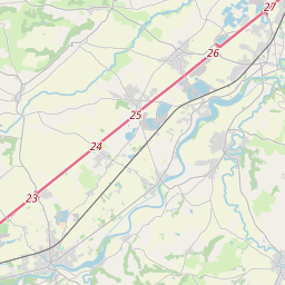
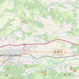
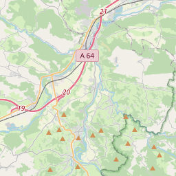
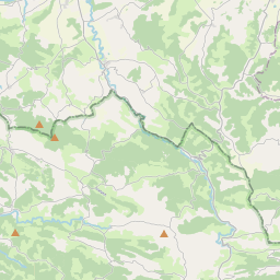
The Salat (French pronunciation: [salat]; Occitan: Salat) is a river in southern France, a right tributary of the Garonne. It is 74.1 km (46.0 mi) long. It rises in nine points above the hamlet Salau in the municipality Couflens, on the slopes of Mont Rouch, central Pyrenees.
No mapa
Na Wikipédia
Texto em inglês Ainda não há artigo no seu idioma: trecho em inglês.
The Salat (French pronunciation: [salat]; Occitan: Salat) is a river in southern France, a right tributary of the Garonne. It is 74.1 km (46.0 mi) long. It rises in nine points above the hamlet Salau in the municipality Couflens, on the slopes of Mont Rouch, central Pyrenees. The former Gascon province of Couserans is based on its valley.
Texto: Wikipédia em inglês, CC BY-SA 4.0. · Imagem: Florent Pécassou (CC BY-SA 3.0) ·


