

Rara · Lugares
Schneekopf
Subpeak of Großer Beerberg in the Thuringian Forest, Thuringia, Germany
The Schneekopf (German pronunciation: [ˈʃneːˌkɔpf]) near Gehlberg in the Thuringian county of Ilm-Kreis is 978 m above sea level (NHN) and thus the second highest peak in the Thuringian Forest after its western neighbour, the Großer Beerberg (983 m). The Adler Saddle between them is only about 59.4 metres lower than the two summits.
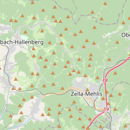
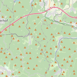
No mapa
Na Wikipédia
Texto em inglês Ainda não há artigo no seu idioma: trecho em inglês.
The Schneekopf (German pronunciation: [ˈʃneːˌkɔpf]) near Gehlberg in the Thuringian county of Ilm-Kreis is 978 m above sea level (NHN) and thus the second highest peak in the Thuringian Forest after its western neighbour, the Großer Beerberg (983 m). The Adler Saddle between them is only about 59.4 metres lower than the two summits. To the east some distance away is its subpeak, the Sachsenstein (915 m), to the south are the Teufelskreise (967 m) and Fichtenkopf (944 m). The Goldlauterberg (866 m) further south marks the transition to the mountain of Großer Finsterberg (944 m).
Texto: Wikipédia em inglês, CC BY-SA 4.0. · Imagem: Elop (CC BY-SA 2.5) ·


