
Sechelt
Town in British Columbia, Canada
Sechelt (; Sechelt: ch'atlich) is a district municipality located on the lower Sunshine Coast of British Columbia. Approximately 50 kilometres (31 mi) northwest of Vancouver, it is accessible from mainland British Columbia by a 40-minute ferry trip between Horseshoe Bay and Langdale, and a 25-minute drive from Langdale along Highway 101, also known as the Sunshine Coast Highway.
Nº Q1259274 ★★
Incomum · Lugares
Sechelt
Town in British Columbia, Canada
Sechelt (; Sechelt: ch'atlich) is a district municipality located on the lower Sunshine Coast of British Columbia. Approximately 50 kilometres (31 mi) northwest of Vancouver, it is accessible from mainland British Columbia by a 40-minute ferry trip between Horseshoe Bay and Langdale, and a 25-minute drive from Langdale along Highway 101, also known as the Sunshine Coast Highway.
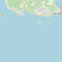
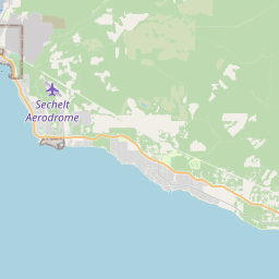
No mapa


Último preço
—
Preço mínimo
—
Mediana 7 d
—
Vendas 30 d
0
Faixa 30 d
—
Em circulação
0
Cotação
mediana
mín – máx
vendas
Sem vendas no período
Ver tabela
| Data | mediana | Mín | Máx | vendas |
|---|
Histórico de vendas
- Última venda
- —
- Média 30 d
- —
- Mínima 30 d
- —
- Máxima 30 d
- —
- Vendas 7 d
- 0
- Vendas 30 d
- 0
Ainda sem vendas.
Vendas anônimas: sem comprador nem vendedor. Os números contam só vendas entre jogadores.
Na Wikipédia
Texto em inglês Ainda não há artigo no seu idioma: trecho em inglês.
Sechelt (; Sechelt: ch'atlich) is a district municipality located on the lower Sunshine Coast of British Columbia. Approximately 50 kilometres (31 mi) northwest of Vancouver, it is accessible from mainland British Columbia by a 40-minute ferry trip between Horseshoe Bay and Langdale, and a 25-minute drive from Langdale along Highway 101, also known as the Sunshine Coast Highway. The name Sechelt is derived from the she shashishalhem word shíshálh, the name of the First Nations people who first settled the area thousands of years ago. The original Village of Sechelt was incorporated on February 15, 1956. Sechelt later expanded its boundaries in 1986 with the inclusion of a number of adjacent unincorporated areas. The District of Sechelt, as it is known today, encompasses 39.71 square kilometres (15.33 sq mi) at the isthmus of the Sechelt Peninsula, between the southern tip of Sechelt Inlet (Porpoise Bay) and the Strait of Georgia that separates the provincial mainland from Vancouver Island. Sechelt is a seaside community with approximately 35 kilometres (22 mi) of Pacific Ocean shoreline that extends primarily along the coastline of the Sunshine Coast, and is bounded to the west and east by the unincorporated communities of Halfmoon Bay and Roberts Creek, respectively. The 2016 Canadian census placed its population at 10,200. The regional offices of the Sunshine Coast Regional District of British Columbia are located in Sechelt. Although its population is relatively small for its geographical area, Sechelt has several distinct neighbourhoods. From east to west, they are ts'uḵw'um (Wilson Creek), Davis Bay, Selma Park, the original Village of Sechelt, and West Sechelt. Several neighbourhoods around Sechelt Inlet were also included in Sechelt's 1986 incorporation as a district; these include West Porpoise Bay, East Porpoise Bay, Sandy Hook, Tillicum Bay and Tuwanek. The shíshálh Nation Government District, which contains a...
Texto: Wikipédia em inglês, CC BY-SA 4.0. · Imagem: Fishhead64 (CC BY-SA 3.0) ·
Cartas próximas

Distrito Regional de Sunshine Coast
Nº Q1631665 ★★★

Ucluelet
Human settlement on Vancouver Island, British Columbia, Canada
Nº Q994047 ★★

Sunshine Coast (British Columbia)
Geographic region of British Columbia, Canada
Nº Q1477253 ★★★

Port Coquitlam
Cidade na Colúmbia Britânica, Canadá
Nº Q643326 ★★

Merritt (Colúmbia Britânica)
Nº Q1025990 ★

British Columbia Highway 99
Nº Q919039 ★★