

Comum · Lugares
Seefeld Saddle
Mountain pass in Tyrol
The Seefeld Saddle (German: Seefelder Sattel) is a saddle and mountain pass, 1,185 m (AA), in the Northern Limestone Alps in the Austrian federal state of Tyrol. Two major transport routes run over it: the Seefelder Straße (B 177) and the Mittenwald Railway.
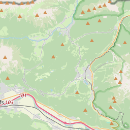
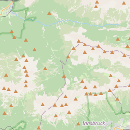
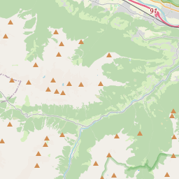
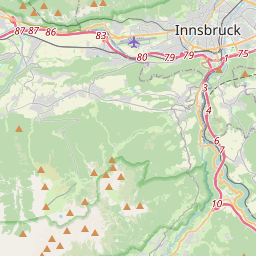
No mapa
Na Wikipédia
Texto em inglês Ainda não há artigo no teu idioma: trecho em inglês.
The Seefeld Saddle (German: Seefelder Sattel) is a saddle and mountain pass, 1,185 m (AA), in the Northern Limestone Alps in the Austrian federal state of Tyrol. Two major transport routes run over it: the Seefelder Straße (B 177) and the Mittenwald Railway. On the Seefeld Plateau north of the saddle lies the village and ski resort of Seefeld in Tirol (1,180 m (AA)). The Seefeld Saddle lies west of the Erlspitze Group (max. 2,405 m (AA)), a sub-range of the Karwendel Alps, and east of the Mieminger Range (max. 2,768 m (AA)). To the south the terrain descends via the Zirler Berg down to the Inn valley, to the north of the plateau lie the Wetterstein Mountains (max. 2,962 m (AA)) and the Arnspitze Group (max. 2,196 m (AA)). The actual pass height is next to the municipal boundary between Seefeld and Reith to the south in the subdistrict of Auland on agricultural land southeast of the Wildsee lake and north-northwest of the junction of the Landesstraße 36 and the Seefelder Straße (B 177).
Texto: Wikipédia em inglês, CC BY-SA 4.0. · Imagem: Chianti (CC BY-SA 3.0) ·