
Shimen County
County
Shimen County (simplified Chinese: 石门县; traditional Chinese: 石門縣; pinyin: Shímén Xiàn) is the northernmost county of Hunan Province, China, bordering Hubei Province to the north. It is under administration of the prefecture-level city of Changde.
Nº Q1338696 ★★
Incomum · Lugares
Shimen County
County
Shimen County (simplified Chinese: 石门县; traditional Chinese: 石門縣; pinyin: Shímén Xiàn) is the northernmost county of Hunan Province, China, bordering Hubei Province to the north. It is under administration of the prefecture-level city of Changde.
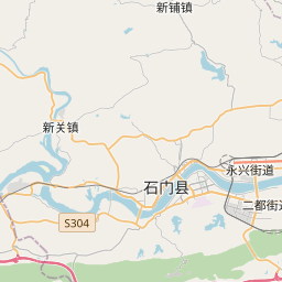
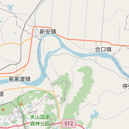
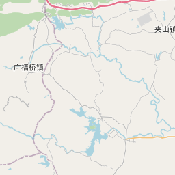
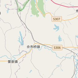
No mapa
Último preço
—
Preço mínimo
—
Mediana 7 d
—
Vendas 30 d
0
Faixa 30 d
—
Em circulação
0
Cotação
mediana
mín – máx
vendas
Sem vendas no período
Ver tabela
| Data | mediana | Mín | Máx | vendas |
|---|
Histórico de vendas
- Última venda
- —
- Média 30 d
- —
- Mínima 30 d
- —
- Máxima 30 d
- —
- Vendas 7 d
- 0
- Vendas 30 d
- 0
Ainda sem vendas.
Vendas anônimas: sem comprador nem vendedor. Os números contam só vendas entre jogadores.
Na Wikipédia
Texto em inglês Ainda não há artigo no seu idioma: trecho em inglês.
Shimen County (simplified Chinese: 石门县; traditional Chinese: 石門縣; pinyin: Shímén Xiàn) is the northernmost county of Hunan Province, China, bordering Hubei Province to the north. It is under administration of the prefecture-level city of Changde. Located on the northern margin of Hunan and the west of Changde, Shimen County is bordered to the south and southwest by Taoyuan, Cili and Sangzhi Counties, to the west by Hefeng County of Hubei, to the north by Wufeng County of Hubei, to the east by Songzi City of Hubei, Li and Linli Counties. Shimen is a mountainous county located on the Wuling Mountains, Mount Huping (壶瓶山) which, at 2,098.7 metres (6,885 ft) on the northwest of the county, is the highest point of Hunan. Shimen is also the home of the Tujia people, the descendant of Chinese ancient Ba People. The Tujia people shares 50.9% of the population in the county. The county has an area of 3,973 kilometres (2,469 mi) with 669,741 of registered population and 601,100 of permanent population (as of 2015). It is divided into 19 towns and townships, five units of State-owned farms (as of 2016).
Texto: Wikipédia em inglês, CC BY-SA 4.0. · Imagem: Jakob Montrasio (CC BY 2.0) ·
Cartas próximas

Li County, Hunan
County in Hunan, China
Nº Q1199604 ★★

Linli County
County in Hunan, China
Nº Q1338719 ★

Longshan County
County
Nº Q928899 ★★

Nan County
County in Yiyang City, Hunan, China
Nº Q1199397 ★★

Hanshou County
County
Nº Q1338649 ★★

Taoyuan County
County in Changde, Hunan, China
Nº Q1338527 ★★