

Comum · Lugares
Sivasagar district
District of Assam, India
Sivasagar district (Pron: or ) is one of the 34 districts of Assam state in Northeast India. Sivasagar city is the administrative headquarters of this district. This historic place is also known for its rich biodiversity.
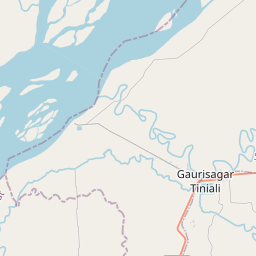
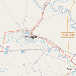
No mapa
Na Wikipédia
Texto em inglês Ainda não há artigo no teu idioma: trecho em inglês.
Sivasagar district (Pron: /ˈsɪvəˌsʌɡər/ or /ˈʃɪvəˌsʌɡər/) is one of the 34 districts of Assam state in Northeast India. Sivasagar city is the administrative headquarters of this district. This historic place is also known for its rich biodiversity. The districts covers an area of 2668 square kilometers (of the total area of 78438 square kilometers of Assam). The district comprises two sub-divisions – Sivasagar and Nazira. The district is bounded by the Brahmaputra River to the north, Nagaland to the south, the Charaideo district to the east and the Jhanji River to the west. Until the early 16th century, the land within the Sibsagar district was part of three kingdoms viz. Ahom kingdom, Chutia kingdom and Kachari kingdom. The Burhi-Dihing river which once flowed through the central region of Sibsagar formed the borders between Ahom and Chutia territories, while Dikhou on the southern region demarcated Kachari and Ahom territories. In early 16th century, Ahoms under the reign of Suhungmung defeated Chutia first and Kachari later to annex the entire district.
Texto: Wikipédia em inglês, CC BY-SA 4.0. · Imagem: Biddyut Das (CC BY-SA 3.0) ·