

Comum · Lugares
Sladkovsky District
Human settlement in Russia
Sladkovsky District (Russian: Сладко́вский райо́н) is an administrative district (raion), one of the twenty-two in Tyumen Oblast, Russia. As a municipal division, it is incorporated as Sladkovsky Municipal District.
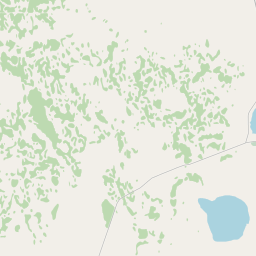
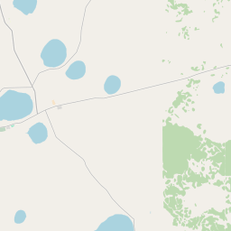
No mapa
Na Wikipédia
Texto em inglês Ainda não há artigo no seu idioma: trecho em inglês.
Sladkovsky District (Russian: Сладко́вский райо́н) is an administrative district (raion), one of the twenty-two in Tyumen Oblast, Russia. As a municipal division, it is incorporated as Sladkovsky Municipal District. It is located in the southeast of the oblast and borders with Abatsky District in the north, Omsk Oblast in the east, Kazakhstan in the south, Kazansky District in the west, and with Ishimsky District in the northwest. The area of the district is 4,023 square kilometers (1,553 sq mi). Its administrative center is the rural locality (a selo) of Sladkovo. Population: 12,264 (2010 Census); 15,052 (2002 Census); 17,750 (1989 Soviet census). The population of Sladkovo accounts for 26.9% of the district's total population. The district is located in the southeastern portion of Tyumen Oblast in the steppe zone. 2,826.73 square kilometers (1,091.41 sq mi) of the district's territory are used for agricultural needs, including 673.28 square kilometers (259.95 sq mi) for ploughland, 752.23 square kilometers (290.44 sq mi) as hayfields, 523.68 square kilometers (202.19 sq mi) as pastures, 794.82 square kilometers (306.88 sq mi) as forests, and 807.92 square kilometers (311.94 sq mi) as water resources. The district is also known as the place of blue lakes.
Texto: Wikipédia em inglês, CC BY-SA 4.0. ·