

Comum · Lugares
Slea Head
Headland in County Kerry, Ireland
Slea Head (Irish: Ceann Sléibhe) is a promontory on the westernmost part of the Dingle Peninsula, in southwest County Kerry, Ireland. It can be reached by the R559 road, with the nearest villages being Ballyickeen and Coumeenoole.
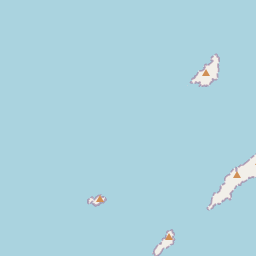
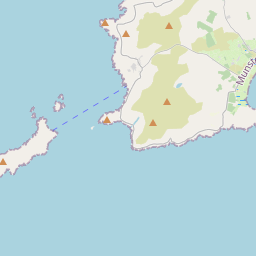
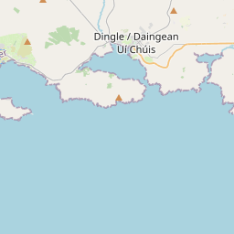
No mapa
Na Wikipédia
Texto em inglês Ainda não há artigo no seu idioma: trecho em inglês.
Slea Head (Irish: Ceann Sléibhe) is a promontory on the westernmost part of the Dingle Peninsula, in southwest County Kerry, Ireland. It can be reached by the R559 road, with the nearest villages being Ballyickeen and Coumeenoole. The headland itself, together with the larger part of Mount Eagle's southern slopes, is formed from steeply dipping beds of the pebbly sandstones and conglomerates of the Slea Head Formation, dating from the Devonian period and traditionally referred to as old red sandstone. To Slea Head's northwest is Dunmore Head, the westernmost point of Ireland. Slea Head is a well-known landmark and viewpoint, with a full view of the Blasket Islands. On 11 March 1982, the Spanish container ship, Ranga, was wrecked at Dunmore Head, close to Slea Head after losing power in a storm.
Texto: Wikipédia em inglês, CC BY-SA 4.0. · Imagem: Gerd Eichmann (CC BY-SA 4.0) ·


