
Sulzfluh
Mountain in the Rätikon at the border Vorarlberg / Grisons
The Sulzfluh is a mountain in the Rätikon range of the Alps, located on the border between Austria and Switzerland. The closest locality is St. Antönien, on the southern side. Below the north face of the mountain is the Lindauer Hütte, a mountain refuge at 1,744 m (5,722 ft) in the Gau valley.
Nº Q674680 ★★★
Rara · Lugares
Sulzfluh
Mountain in the Rätikon at the border Vorarlberg / Grisons
The Sulzfluh is a mountain in the Rätikon range of the Alps, located on the border between Austria and Switzerland. The closest locality is St. Antönien, on the southern side. Below the north face of the mountain is the Lindauer Hütte, a mountain refuge at 1,744 m (5,722 ft) in the Gau valley.
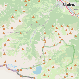
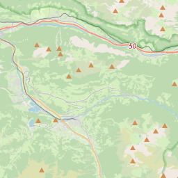
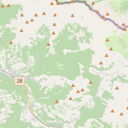
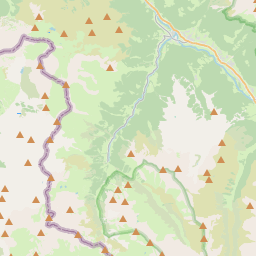
No mapa
Último preço
—
Preço mínimo
—
Mediana 7 d
—
Vendas 30 d
0
Faixa 30 d
—
Em circulação
0
Cotação
mediana
mín – máx
vendas
Sem vendas no período
Ver tabela
| Data | mediana | Mín | Máx | vendas |
|---|
Histórico de vendas
- Última venda
- —
- Média 30 d
- —
- Mínima 30 d
- —
- Máxima 30 d
- —
- Vendas 7 d
- 0
- Vendas 30 d
- 0
Ainda sem vendas.
Vendas anônimas: sem comprador nem vendedor. Os números contam só vendas entre jogadores.
Na Wikipédia
Texto em inglês Ainda não há artigo no seu idioma: trecho em inglês.
The Sulzfluh is a mountain in the Rätikon range of the Alps, located on the border between Austria and Switzerland. The closest locality is St. Antönien, on the southern side. Below the north face of the mountain is the Lindauer Hütte, a mountain refuge at 1,744 m (5,722 ft) in the Gau valley. The eastern side has a mountain path of grade T4, allowing non-climbers to reach the summit at 2,817 m (9,242 ft). This is part of a multi day walking route along the entire length of the Rätikon chain on the sunnier side, called "Prättigauer Höhenweg". There are six known caves into the limestone mountain, with lengths ranging from 800 to 3000 or more metres. It is well known by climbers, the Gauablickhöhle Via ferrata on the north (Austrian) side involves passing through 350m of the cave system part way up the cliff face, there is another via ferrata on the southern, Swiss face, in Graubünden.
Texto: Wikipédia em inglês, CC BY-SA 4.0. · Imagem: Capricorn4049 (CC BY-SA 4.0) ·


