

Comum · Lugares
Takhtamygda
Village in Skovorodinsky District, Russia
Takhtamygda (Russian: Тахтамыгда) is a rural locality (a selo) and the administrative center of Takhtamygdinsky Selsoviet of Skovorodinsky District, Amur Oblast, Russia. The population was 1,498 as of 2018. There are 18 streets.
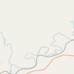
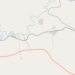
No mapa
Na Wikipédia
Texto em inglês Ainda não há artigo no teu idioma: trecho em inglês.
Takhtamygda (Russian: Тахтамыгда) is a rural locality (a selo) and the administrative center of Takhtamygdinsky Selsoviet of Skovorodinsky District, Amur Oblast, Russia. The population was 1,498 as of 2018. There are 18 streets. Takhtamygda is located on the Maly Oldoy River, 40 km northwest of Skovorodino (the district's administrative centre) by road. BAM is the nearest rural locality.
Texto: Wikipédia em inglês, CC BY-SA 4.0. · Imagem: peepca (CC BY-SA 3.0) ·