

Rara · Lugares
Tanahsareal
District in Bogor City, West Java Province, Indonesia
Tanah Sareal is one of the six administrative districts (kecamatan) in the city of Bogor, West Java Province, Indonesia. The district covers an area of 21.25 km2, and had a population of 190,919 at the 2010 Census and 218,094 at the 2020 Census; the official estimate as at mid 2023 was 231,040.
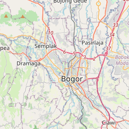
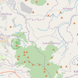
No mapa
Na Wikipédia
Texto em inglês Ainda não há artigo no teu idioma: trecho em inglês.
Tanah Sareal is one of the six administrative districts (kecamatan) in the city of Bogor, West Java Province, Indonesia. The district covers an area of 21.25 km, and had a population of 190,919 at the 2010 Census and 218,094 at the 2020 Census; the official estimate as at mid 2023 was 231,040. Administratively it is divided into eleven villages (kelurahan), listed below with their areas and their populations as at mid 2022. Tanah Sareal was previously part of North Bogor district before it was split off from the western part of the district in 1992.
Texto: Wikipédia em inglês, CC BY-SA 4.0. ·