

Incomum · Lugares
Tecozautla
Municipality in the State of Hidalgo, Mexico
Tecozautla (Otomi: Masofo) is a town and one of the 84 municipalities of Hidalgo, in central-eastern Mexico. The municipality covers an area of 575.6 km2.
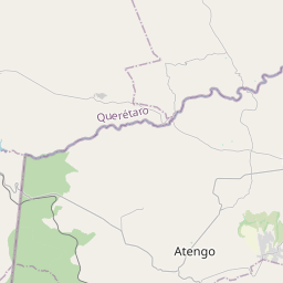
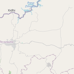
No mapa
Na Wikipédia
Texto em inglês Ainda não há artigo no teu idioma: trecho em inglês.
Tecozautla (Otomi: Masofo) is a town and one of the 84 municipalities of Hidalgo, in central-eastern Mexico. The municipality covers an area of 575.6 km. The name derives from the Nahuatl words "tetl", meaning "stone"; "cozaqui", meaning "yellow thing"; and "tla", meaning "place of"; making the entire meaning of Tecozautla "place where yellow earth abounds". As of 2005, the municipality had a total population of 31,609. In 2017 there were 2,415 inhabitants who spoke an indigenous language, primarily Mezquital Otomi. The town was declared a "Pueblo Mágico" in 2015. The name Tecozautla comes from the Nahuatl tetl -stone-, cozauqui -yellow thing- and tla which means -place of-; which together means "Place where the yellow earth abounds". As for physiography it is located within the province of the Neovolcanic Axis; within the subprovince of Sierras y Llanuras de Querétaro and Hidalgo. As for its geology it corresponds to the Neogene period (91.86%), Cretaceous (4.0%) and Quaternary (2.0%). With Extrusive igneous type rocks: basalt (29.86%), acid tuff (26.0%), volcanoclastic (12.0%), basic tuff-basic volcanic breccia (5.0%), acid tuff-acid volcanic breccia (5.0%) and rhyolite-acid tuff (2.0%); sedimentary: sandstone–conglomerate (12.0%) and limestone (4.0%); soil: alluvial (2.0%).
Texto: Wikipédia em inglês, CC BY-SA 4.0. · Imagem: ORamírezD (CC BY-SA 3.0) ·