Tenjo, Indonesia
District in Bogor Regency, West Java Province, Indonesia
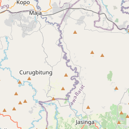
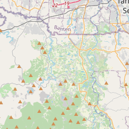
Tenjo is a town and an administrative district (Indonesian: kecamatan) in the Bogor Regency of West Java Province, Indonesia and thus part of Jakarta's metropolitan area. Tenjo District was previously part of the areas of Parung Panjang and Jasinga Districts before it was split off from the western and northern parts respectively of those districts on 14 August 1992.
Nº Q401999 ★★★
Rara · Lugares
Tenjo, Indonesia
District in Bogor Regency, West Java Province, Indonesia
Tenjo is a town and an administrative district (Indonesian: kecamatan) in the Bogor Regency of West Java Province, Indonesia and thus part of Jakarta's metropolitan area. Tenjo District was previously part of the areas of Parung Panjang and Jasinga Districts before it was split off from the western and northern parts respectively of those districts on 14 August 1992.
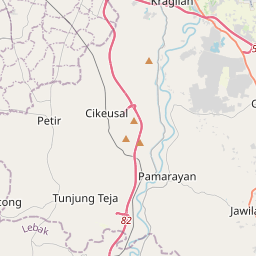
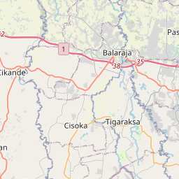
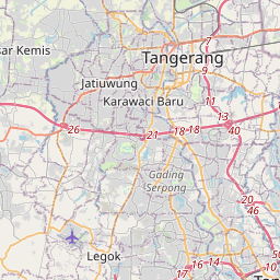
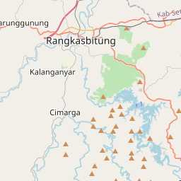
No mapa
Último preço
—
Preço mínimo
—
Mediana 7 d
—
Vendas 30 d
0
Faixa 30 d
—
Em circulação
0
Cotação
mediana
mín – máx
vendas
Sem vendas no período
Ver tabela
| Data | mediana | Mín | Máx | vendas |
|---|
Histórico de vendas
- Última venda
- —
- Média 30 d
- —
- Mínima 30 d
- —
- Máxima 30 d
- —
- Vendas 7 d
- 0
- Vendas 30 d
- 0
Ainda sem vendas.
Vendas anônimas: sem comprador nem vendedor. Os números contam só vendas entre jogadores.
Na Wikipédia
Texto em inglês Ainda não há artigo no seu idioma: trecho em inglês.
Tenjo is a town and an administrative district (Indonesian: kecamatan) in the Bogor Regency of West Java Province, Indonesia and thus part of Jakarta's metropolitan area. Tenjo District was previously part of the areas of Parung Panjang and Jasinga Districts before it was split off from the western and northern parts respectively of those districts on 14 August 1992. Tenjo District covers an area of 72.18 km2, and had a population of 66,077 at the 2010 Census and 73,272 at the 2020 Census; the official estimate as at mid 2024 was 81,761 (comprising 42,362 males and 39,399 females). The administrative centre is at the town of Singabraja, and the district is sub-divided into nine villages (desa), all sharing the postcode of 16370, as listed below with their areas and populations as at mid 2024.
Texto: Wikipédia em inglês, CC BY-SA 4.0. ·


