
Thane district
District of Maharashtra, India
Thane district (Pronunciation: [ʈʰaːɳe], previously named Taana or Thana) is a district in the Konkan division of the Indian state of Maharashtra. At the 2011 Census, it was the most populated district in the country, with 11,060,148 inhabitants; however, in August 2014, the district was split into two with the creation of a new Palghar district, leaving the reduced Thane district with a 2011 census population of 8,070,032.
Nº Q943099 ★★
Incomum · Lugares
Thane district
District of Maharashtra, India
Thane district (Pronunciation: [ʈʰaːɳe], previously named Taana or Thana) is a district in the Konkan division of the Indian state of Maharashtra. At the 2011 Census, it was the most populated district in the country, with 11,060,148 inhabitants; however, in August 2014, the district was split into two with the creation of a new Palghar district, leaving the reduced Thane district with a 2011 census population of 8,070,032.
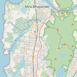
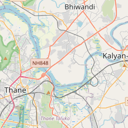
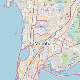
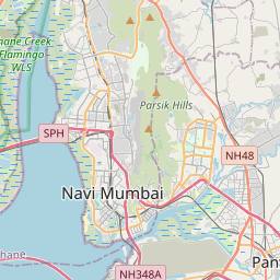
No mapa
Último preço
—
Preço mínimo
—
Mediana 7 d
—
Vendas 30 d
0
Faixa 30 d
—
Em circulação
0
Cotação
mediana
mín – máx
vendas
Sem vendas no período
Ver tabela
| Data | mediana | Mín | Máx | vendas |
|---|
Histórico de vendas
- Última venda
- —
- Média 30 d
- —
- Mínima 30 d
- —
- Máxima 30 d
- —
- Vendas 7 d
- 0
- Vendas 30 d
- 0
Ainda sem vendas.
Vendas anônimas: sem comprador nem vendedor. Os números contam só vendas entre jogadores.
Na Wikipédia
Texto em inglês Ainda não há artigo no seu idioma: trecho em inglês.
Thane district (Pronunciation: [ʈʰaːɳe], previously named Taana or Thana) is a district in the Konkan division of the Indian state of Maharashtra. At the 2011 Census, it was the most populated district in the country, with 11,060,148 inhabitants; however, in August 2014, the district was split into two with the creation of a new Palghar district, leaving the reduced Thane district with a 2011 census population of 8,070,032. The headquarters of the district is the city of Thane.Thane district is located in western Maharashtra.Other major cities in the district are Navi Mumbai, Kalyan-Dombivli, Mira-Bhayander, Bhiwandi, Ulhasnagar, Ambarnath, Badlapur, Murbad and Shahapur. The district is situated between 18°42' and 20°20' north latitudes and 72°45' and 73°48' east longitudes. The revised area of the district is 4,214 km2. The district is bounded by Nashik district to the north east, Pune and Ahmednagar districts to the east, and by Palghar district to the north. The Arabian Sea forms the western boundary, while it is bounded by Mumbai Suburban district to the south west, and Raigad District to the south.
Texto: Wikipédia em inglês, CC BY-SA 4.0. · Imagem: Udaykumar PR (CC BY 3.0) ·
Cartas próximas

Thane Municipal Corporation
Governing body of the city of Thane, Maharashtra, India
Nº Q7710242 ★★

Palghar district
District in Maharashtra, India
Nº Q18003119 ★

Tana (Bombaim)
Nº Q207749 ★★

Kalyan
Nº Q366754 ★★★

Kalyan-Dombivli Municipal Corporation
Local civic body in Kalyan-Dombivli, Maharashtra, India
Nº Q6354838 ★

Raigad district
District of Maharashtra, India
Nº Q2019683 ★★