

Incomum · Lugares
Tolo Harbour
Harbour in Hong Kong
Tolo Harbour (Chinese: 吐露港), or Tai Po Hoi (大埔海, historically 大步海; 'Tai Po Sea'), is a sheltered harbour in northeast New Territories of Hong Kong.
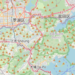
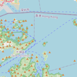
No mapa
Na Wikipédia
Texto em inglês Ainda não há artigo no teu idioma: trecho em inglês.
Tolo Harbour (Chinese: 吐露港), or Tai Po Hoi (大埔海, historically 大步海; 'Tai Po Sea'), is a sheltered harbour in northeast New Territories of Hong Kong. Tide Cove, also known as Sha Tin Hoi, is to the south of the harbour, and Plover Cove, Three Fathoms Cove and Tolo Channel are to its east. The Shing Mun River empties first into Tide Cove, then the harbour. Several islands are located in the harbour, including Ma Shi Chau, Centre Island, Yeung Chau and Yim Tin Tsai. Yuen Chau Tsai is a former island, now connected to the mainland by a causeway. In the past pearls were very abundant here. Pearl hunting had been a major industry in Tai Po from the Han dynasty. In the Five Dynasties and Ten Kingdoms period, a king of Southern Han changed the name of Tai Po to Mei Chuen To (媚川都) and ordered an aggressive cultivation effort, which led to many fatalities amongst the pearl hunters. The hunting lasted until the Ming dynasty, when the pearl oysters were nearly extinct in the area. Kowloon–Canton Railway was built in the 1910s and Tolo Highway in the 1980s on its western shore.
Texto: Wikipédia em inglês, CC BY-SA 4.0. · Imagem: Baycrest (CC BY-SA 2.5) ·