
Vinalopó
River in Spain
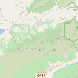
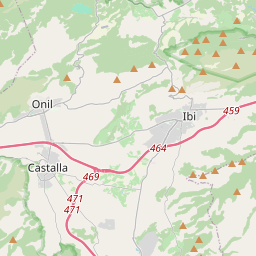
The Vinalopó is a small river flowing through the Alicante province, of Spain. It flows from north to south and, with a length of 81 km., it is the longest of the rivers which flows for its entire length within the limits of this province. It has historically discharged into the Mediterranean at Salinas de Santa Pola.
Nº Q783114 ★★★
Rara · Lugares
Vinalopó
River in Spain
The Vinalopó is a small river flowing through the Alicante province, of Spain. It flows from north to south and, with a length of 81 km., it is the longest of the rivers which flows for its entire length within the limits of this province. It has historically discharged into the Mediterranean at Salinas de Santa Pola.
No mapa
Último preço
—
Preço mínimo
—
Mediana 7 d
—
Vendas 30 d
0
Faixa 30 d
—
Em circulação
0
Cotação
mediana
mín – máx
vendas
Sem vendas no período
Ver tabela
| Data | mediana | Mín | Máx | vendas |
|---|
Histórico de vendas
- Última venda
- —
- Média 30 d
- —
- Mínima 30 d
- —
- Máxima 30 d
- —
- Vendas 7 d
- 0
- Vendas 30 d
- 0
Ainda sem vendas.
Vendas anônimas: sem comprador nem vendedor. Os números contam só vendas entre jogadores.
Na Wikipédia
Texto em inglês Ainda não há artigo no seu idioma: trecho em inglês.
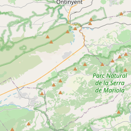
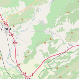
The Vinalopó is a small river flowing through the Alicante province, of Spain. It flows from north to south and, with a length of 81 km., it is the longest of the rivers which flows for its entire length within the limits of this province. It has historically discharged into the Mediterranean at Salinas de Santa Pola. For some historians, it corresponds to the Alebus incidentally mentioned by Avienius in his Ora Maritima. Three comarcas (districts) in the Alicante province are named after it: Alt Vinalopó, Vinalopó Mitjà and Baix Vinalopó which mean, respectively, Upper Vinalopó, Middle Vinalopó and Lower Vinalopó. Its source lies in a mountainous part of the northwest part of the Alicante province, between Bocairent and Banyeres de Mariola in an area known as Els Bruchs. It does not currently discharge into the Mediterranean Sea, but due to its diminished flow in the lower part of its course, it fades out into a series of small irrigation channels (séquies) which flow south of Elx/Elche into the marshes known as El Fondo Natural Park and the Salines de Santa Pola Natural Park. The river, despite having been tiny during historical times, represents a significant corridor through the generally mountainous terrain surrounding it, along which several cities were settled, namely, from north to south, Banyeres de Mariola, Villena, Sax, Elda, Petrer, Novelda and Elx/Elche.
Texto: Wikipédia em inglês, CC BY-SA 4.0. · Imagem: FoxR (CC BY-SA 3.0) ·


