


Wanlockhead
Village in Dumfries and Galloway, Scotland, UK
Wanlockhead is a village in Dumfries and Galloway, Scotland, nestling in the Lowther Hills and 1 mile (2 kilometres) south of Leadhills at the head of the Mennock Pass, which forms part of the Southern Uplands. It is Scotland's highest village, the village centre being at an elevation of around 405 m (1,329 ft) above sea level.
Nº Q1670511 ★
Comum · Lugares
Wanlockhead
Village in Dumfries and Galloway, Scotland, UK
Wanlockhead is a village in Dumfries and Galloway, Scotland, nestling in the Lowther Hills and 1 mile (2 kilometres) south of Leadhills at the head of the Mennock Pass, which forms part of the Southern Uplands. It is Scotland's highest village, the village centre being at an elevation of around 405 m (1,329 ft) above sea level.
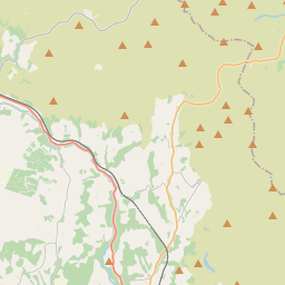
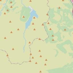
No mapa
Na Wikipédia
Texto em inglês Ainda não há artigo no seu idioma: trecho em inglês.
Wanlockhead is a village in Dumfries and Galloway, Scotland, nestling in the Lowther Hills and 1 mile (2 kilometres) south of Leadhills at the head of the Mennock Pass, which forms part of the Southern Uplands. It is Scotland's highest village, the village centre being at an elevation of around 405 m (1,329 ft) above sea level. Some sources, including VisitScotland, cite an altitude of 467 metres (1,532 ft) – which would make it higher than Flash, Staffordshire, and thus the highest village in the United Kingdom – but the highest house in Wanlockhead has been measured at 444 metres (1,457 ft). The village can be accessed via the B797, which connects it to the A76 near Sanquhar and the A74(M) motorway at Abington.
Texto: Wikipédia em inglês, CC BY-SA 4.0. · Imagem: Clydiee (CC BY-SA 4.0) ·
Cartas próximas
-

Flash, Staffordshire
Village in Staffordshire, United Kingdom
Nº Q8563640 ★
-

Twynholm
Village in Dumfries and Galloway, Scotland, UK
Nº Q489551 ★
-

Tomintoul
Village in Moray, Scotland, UK
Nº Q1236329 ★
-

New Galloway
Village in Dumfries and Galloway, Scotland, UK
Nº Q3778560 ★★
-

Much Wenlock
Nº Q201114 ★★
-

Ecclefechan
Village in Dumfries and Galloway, Scotland, UK
Nº Q1015818 ★