
Yellowhead Highway
Highway in Canada
The Yellowhead Highway (French: Route Yellowhead) is a major interprovincial highway in Western Canada that runs from Winnipeg, Manitoba, west to Graham Island off the coast of British Columbia via Saskatoon, Saskatchewan, and Edmonton, Alberta. It stretches across the four western provinces: British Columbia, Alberta, Saskatchewan, and Manitoba, and is part of the Trans-Canada Highway system and the larger National Highway System, but should not be confused with the more southerly, originally-designated Trans-Canada Highway.
Nº Q2036444 ★
Comum · Lugares
Yellowhead Highway
Highway in Canada
The Yellowhead Highway (French: Route Yellowhead) is a major interprovincial highway in Western Canada that runs from Winnipeg, Manitoba, west to Graham Island off the coast of British Columbia via Saskatoon, Saskatchewan, and Edmonton, Alberta. It stretches across the four western provinces: British Columbia, Alberta, Saskatchewan, and Manitoba, and is part of the Trans-Canada Highway system and the larger National Highway System, but should not be confused with the more southerly, originally-designated Trans-Canada Highway.
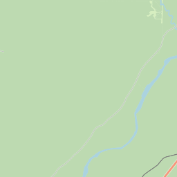
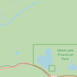
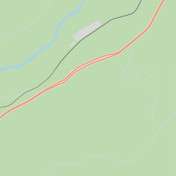
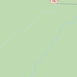
No mapa
Último preço
—
Preço mínimo
—
Mediana 7 d
—
Vendas 30 d
0
Faixa 30 d
—
Em circulação
0
Cotação
mediana
mín – máx
vendas
Sem vendas no período
Ver tabela
| Data | mediana | Mín | Máx | vendas |
|---|
Histórico de vendas
- Última venda
- —
- Média 30 d
- —
- Mínima 30 d
- —
- Máxima 30 d
- —
- Vendas 7 d
- 0
- Vendas 30 d
- 0
Ainda sem vendas.
Vendas anônimas: sem comprador nem vendedor. Os números contam só vendas entre jogadores.
Na Wikipédia
Texto em inglês Ainda não há artigo no seu idioma: trecho em inglês.
The Yellowhead Highway (French: Route Yellowhead) is a major interprovincial highway in Western Canada that runs from Winnipeg, Manitoba, west to Graham Island off the coast of British Columbia via Saskatoon, Saskatchewan, and Edmonton, Alberta. It stretches across the four western provinces: British Columbia, Alberta, Saskatchewan, and Manitoba, and is part of the Trans-Canada Highway system and the larger National Highway System, but should not be confused with the more southerly, originally-designated Trans-Canada Highway. The highway was officially opened in 1970. Beginning in 1990, the green and white Trans-Canada logo is used to designate the roadway. The highway is named for the Yellowhead Pass, the route chosen to cross the Canadian Rockies. The pass and the highway are named after a fur trader and explorer, Pierre Bostonais. He had yellow streaks in his hair, and was nicknamed "Tête Jaune" (Yellowhead). Almost the entire length of the highway is numbered as 16, except for the section in Manitoba that is concurrent with Trans-Canada Highway 1. The highway number "16" is also the number given to a branch of the Trans-Canada in New Brunswick; Route 16. However, the numeric designation is strictly coincidental, and New Brunswick Route 16 is not part of the Yellowhead.
Texto: Wikipédia em inglês, CC BY-SA 4.0. · Imagem: SriMesh (CC BY-SA 3.0) ·
Cartas próximas

British Columbia Highway 5
Highway in British Columbia
Nº Q919000 ★★

North Battleford (Saskatchewan)
Nº Q999654 ★

Rodovia Trans-Canadá
Nº Q1061576 ★★★

British Columbia Highway 99
Nº Q919039 ★★

Trans Mountain pipeline
Oil pipeline between the provinces of Alberta and British Columbia, Canada
Nº Q23074089 ★★

British Columbia Highway 97
Provincial highway in British Columbia, Canada.
Nº Q919034 ★★