
Albera Massif
Mountain range in Spain and France
The Albera Massif (Catalan: Serra de l'Albera; Occitan: Massís d'Albera; French: Massif des Albères) is a mountain range located in the south of Pyrénées-Orientales and the north of Catalonia, between France and Spain. It is the main easternmost prolongation of the Pyrenees.
Nº Q1624531 ★★★
Rare · Places
Albera Massif
Mountain range in Spain and France
The Albera Massif (Catalan: Serra de l'Albera; Occitan: Massís d'Albera; French: Massif des Albères) is a mountain range located in the south of Pyrénées-Orientales and the north of Catalonia, between France and Spain. It is the main easternmost prolongation of the Pyrenees.
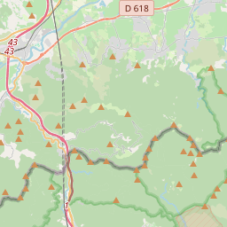
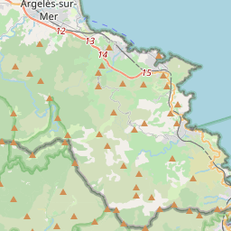
On the map
Last price
—
Floor price
—
7-day median
—
30-day sales
0
30-day range
—
In circulation
0
Price history
median
low – high
sales
No sales in this period
Show table
| Date | median | Low | High | sales |
|---|
Sales history
- Last sale
- —
- 30-day average
- —
- 30-day low
- —
- 30-day high
- —
- Sales 7d
- 0
- Sales 30d
- 0
No sales yet.
Anonymous sales: no buyer or seller shown. Figures count player-to-player sales only.
From Wikipedia
The Albera Massif (Catalan: Serra de l'Albera; Occitan: Massís d'Albera; French: Massif des Albères) is a mountain range located in the south of Pyrénées-Orientales and the north of Catalonia, between France and Spain. It is the main easternmost prolongation of the Pyrenees. Its highest peak is the Puig Neulós, with an elevation of 1,256 metres. Most of the southern side of the range is part of the Paratge Natural d'Interès Nacional de l'Albera natural reserve. There are some ancient megaliths in the range. The Col du Perthus marks the western boundary of the massif. The massif is at the eastern end of the "Axial Zone" of the Pyrenees mountain range. As in most of that zone, the geological formations in the massif are mostly of Paleozoic and earlier ages, with granite, gneiss, and schists (and other metasediments) being the predominant formations. On the northern slopes of the massif, the Albères fault (which runs roughly west to east from near Le Boulou to near Argelès) marks a clear geological and topographical boundary between the Palaeozoic and older formations of the Albera massif and the Neogene deposits of the Roussillon basin.
Text: Wikipédia, CC BY-SA 4.0. · Image: AC at French Wikipedia (Public domain) ·
Related cards

Coll de Banyuls
Mountain pass
Nº Q2982011 ★★

Col du Perthus
Mountain pass on the France–Spain border
Nº Q2982308 ★★

Galician Massif
Mountain ranges in Spain
Nº Q3327031 ★★

Gran Encantat
Mountain in Spain (European Union)
Nº Q3053720 ★★

Puigmal
Mountain in the Pyrenees
Nº Q17477 ★★★

Puig Neulós
Highest mountain of Albera Range
Nº Q7093 ★★