
Arc (Provence)
River in Provence, France
The Arc (French pronunciation: [aʁk] ) is an 83-kilometre (52 mi) long river in Southern France. It arises at an elevation of 470 metres (1,540 ft), close to the village of Pourcieux.
Nº Q631028 ★★
Uncommon · Places
Arc (Provence)
River in Provence, France
The Arc (French pronunciation: [aʁk] ) is an 83-kilometre (52 mi) long river in Southern France. It arises at an elevation of 470 metres (1,540 ft), close to the village of Pourcieux.
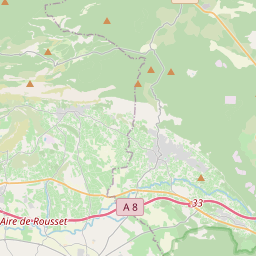
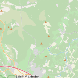
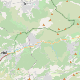
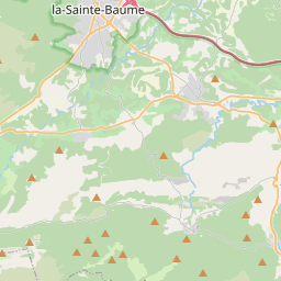
On the map
Last price
—
Floor price
—
7-day median
—
30-day sales
0
30-day range
—
In circulation
0
Price history
median
low – high
sales
No sales in this period
Show table
| Date | median | Low | High | sales |
|---|
Sales history
- Last sale
- —
- 30-day average
- —
- 30-day low
- —
- 30-day high
- —
- Sales 7d
- 0
- Sales 30d
- 0
No sales yet.
Anonymous sales: no buyer or seller shown. Figures count player-to-player sales only.
From Wikipedia
The Arc (French pronunciation: [aʁk] ) is an 83-kilometre (52 mi) long river in Southern France. It arises at an elevation of 470 metres (1,540 ft), close to the village of Pourcieux. It then passes through Aix-en-Provence before flowing into the Étang de Berre, a lagoon connected with the Mediterranean Sea to the west of Marseille. Its drainage basin, with a surface area of 716 square kilometres (276 mi2), is divided between two departments, Var and Bouches-du-Rhône. The Bayeux, the Cause and the Torse are its tributaries. The Roquefavour Aqueduct passes over the river; Paul Cézanne's Mont Sainte-Victoire and the Viaduct of the Arc River Valley is the best known piece of art representing the Arc.
Text: Wikipédia, CC BY-SA 4.0. · Image: Fr.Latreille (CC BY-SA 3.0) ·
Related cards

Arc (Savoie)
River in Savoie, France
Nº Q631049 ★★★

Provence Canal
Canal in southern France
Nº Q2936020 ★★★

Drac (river)
River in France
Nº Q1127096 ★★★

Ardèche (river)
River in France
Nº Q640263 ★★★★

Var (department)
Department in Provence-Alpes-Côte d'Azur, France
Nº Q12789 ★★★★★★

Arve
River in France and Switzerland, tributary of the Rhône
Nº Q633819 ★★★