
Arc
Río de Francia
The Arc (French pronunciation: [aʁk] ) is an 83-kilometre (52 mi) long river in Southern France. It arises at an elevation of 470 metres (1,540 ft), close to the village of Pourcieux.
Nº Q631028 ★★
Poco común · Lugares
Arc
Río de Francia
The Arc (French pronunciation: [aʁk] ) is an 83-kilometre (52 mi) long river in Southern France. It arises at an elevation of 470 metres (1,540 ft), close to the village of Pourcieux.
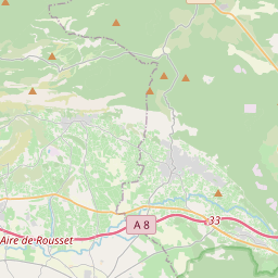
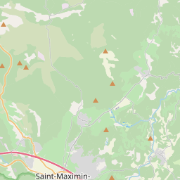
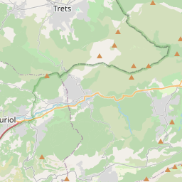
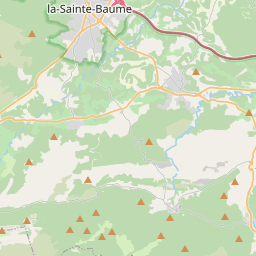
En el mapa
Último precio
—
Precio mínimo
—
Mediana 7 d
—
Ventas 30 d
0
Rango 30 d
—
En circulación
0
Cotización
mediana
mín – máx
ventas
Sin ventas en el periodo
Ver tabla
| Fecha | mediana | Mín | Máx | ventas |
|---|
Historial de ventas
- Última venta
- —
- Media 30 d
- —
- Mínimo 30 d
- —
- Máximo 30 d
- —
- Ventas 7 d
- 0
- Ventas 30 d
- 0
Aún no hay ventas.
Ventas anónimas: sin comprador ni vendedor. Las cifras solo cuentan ventas entre jugadores.
En Wikipedia
Texto en inglés Aún no hay artículo en tu idioma: extracto en inglés.
The Arc (French pronunciation: [aʁk] ) is an 83-kilometre (52 mi) long river in Southern France. It arises at an elevation of 470 metres (1,540 ft), close to the village of Pourcieux. It then passes through Aix-en-Provence before flowing into the Étang de Berre, a lagoon connected with the Mediterranean Sea to the west of Marseille. Its drainage basin, with a surface area of 716 square kilometres (276 mi2), is divided between two departments, Var and Bouches-du-Rhône. The Bayeux, the Cause and the Torse are its tributaries. The Roquefavour Aqueduct passes over the river; Paul Cézanne's Mont Sainte-Victoire and the Viaduct of the Arc River Valley is the best known piece of art representing the Arc.
Texto: Wikipedia en inglés, CC BY-SA 4.0. · Imagen: Fr.Latreille (CC BY-SA 3.0) ·


