Baarin
Village in Syria
Baarin (Arabic: بعرين, Baʿrīn or Biʿrīn) is a village in northern Syria, administratively part of the Hama Governorate, located in Homs Gap roughly 38 kilometers (24 mi) southwest of Hama. Nearby localities include Taunah and Awj to the south, Aqrab and Houla to the southeast, Nisaf, Ayn Halaqim and Wadi al-Uyun to the west, Masyaf, Deir Mama and Mahrusah to the north, and Deir al-Fardis and al-Rastan to the east.
Nº Q4837177 ★★
Uncommon · Places
Baarin
Village in Syria
Baarin (Arabic: بعرين, Baʿrīn or Biʿrīn) is a village in northern Syria, administratively part of the Hama Governorate, located in Homs Gap roughly 38 kilometers (24 mi) southwest of Hama. Nearby localities include Taunah and Awj to the south, Aqrab and Houla to the southeast, Nisaf, Ayn Halaqim and Wadi al-Uyun to the west, Masyaf, Deir Mama and Mahrusah to the north, and Deir al-Fardis and al-Rastan to the east.
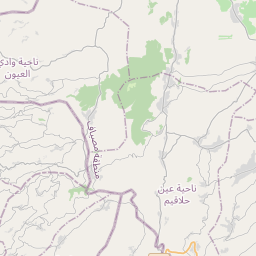
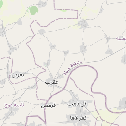
On the map


Last price
—
Floor price
—
7-day median
—
30-day sales
0
30-day range
—
In circulation
0
Price history
median
low – high
sales
No sales in this period
Show table
| Date | median | Low | High | sales |
|---|
Sales history
- Last sale
- —
- 30-day average
- —
- 30-day low
- —
- 30-day high
- —
- Sales 7d
- 0
- Sales 30d
- 0
No sales yet.
Anonymous sales: no buyer or seller shown. Figures count player-to-player sales only.
From Wikipedia
Baarin (Arabic: بعرين, Baʿrīn or Biʿrīn) is a village in northern Syria, administratively part of the Hama Governorate, located in Homs Gap roughly 38 kilometers (24 mi) southwest of Hama. Nearby localities include Taunah and Awj to the south, Aqrab and Houla to the southeast, Nisaf, Ayn Halaqim and Wadi al-Uyun to the west, Masyaf, Deir Mama and Mahrusah to the north, and Deir al-Fardis and al-Rastan to the east. According to the Syria Central Bureau of Statistics (CBS), Baarin had a population of 5,559 in the 2004 census. Baarin is also the largest locality in the Awj nahiyah ("subdistrict") which comprises thirteen villages with a population of 33,344. The village's inhabitants are predominantly Alawites. Today, Baarin spans about 2,923 hectares (7,220 acres) between houses, commercial buildings and agricultural land. The village is built on the hillside below the medieval fortress of Baarin, and is situated along the main road between Masyaf and Hama. The majority of the inhabitants are farmers, while the rest work in services and trade. The main water source of the village is the nearby al-Tannur spring.
Text: Wikipédia, CC BY-SA 4.0. ·
Related cards
-
B
Besirin
Village in Syria
Nº Q12198386 ★★
Not listed
-
N
Nahr al-Bared, Syria
Village in Syria
Nº Q6959388 ★★★
Not listed
-
M
Maryamin, Homs
Village in Hama, Syria
Nº Q6781105 ★★
Not listed
-
H
Huwwarin
Village in Syria
Nº Q4707242 ★★★
Not listed
-
A
Ayn al-Niser
Village in Syria
Nº Q4414976 ★★
Not listed
-
A
Ain Halaqim
Village in Syria
Nº Q4831497 ★★
Not listed