
Col de Vars
Mountain pass
The Col de Vars, elevation 2108 m (6916 ft) is a high mountain pass in the Alps between the departments of Hautes-Alpes and Alpes-de-Haute-Provence in France. It connects the Ubaye Valley with the Queyras valley and Embrun.
Nº Q265759 ★★★
Rare · Places
Col de Vars
Mountain pass
The Col de Vars, elevation 2108 m (6916 ft) is a high mountain pass in the Alps between the departments of Hautes-Alpes and Alpes-de-Haute-Provence in France. It connects the Ubaye Valley with the Queyras valley and Embrun.
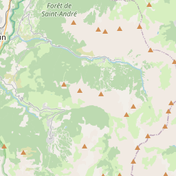
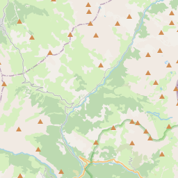
On the map
Last price
—
Floor price
—
7-day median
—
30-day sales
0
30-day range
—
In circulation
0
Price history
median
low – high
sales
No sales in this period
Show table
| Date | median | Low | High | sales |
|---|
Sales history
- Last sale
- —
- 30-day average
- —
- 30-day low
- —
- 30-day high
- —
- Sales 7d
- 0
- Sales 30d
- 0
No sales yet.
Anonymous sales: no buyer or seller shown. Figures count player-to-player sales only.
From Wikipedia
The Col de Vars, elevation 2108 m (6916 ft) is a high mountain pass in the Alps between the departments of Hautes-Alpes and Alpes-de-Haute-Provence in France. It connects the Ubaye Valley with the Queyras valley and Embrun. It is traversed by highway D 902, which leads from Saint-Paul-sur-Ubaye in the southeast to Vars and on to Guillestre in the northwest. The pass has been included in the Tour de France 33 times since 1922, when Philippe Thys crossed the pass for the first time.
Text: Wikipédia, CC BY-SA 4.0. · Image: Zehnfinger (CC BY-SA 3.0) ·


