
Col de Vars
Mountain pass
The Col de Vars, elevation 2108 m (6916 ft) is a high mountain pass in the Alps between the departments of Hautes-Alpes and Alpes-de-Haute-Provence in France. It connects the Ubaye Valley with the Queyras valley and Embrun.
Nº Q265759 ★★★
Rara · Lugares
Col de Vars
Mountain pass
The Col de Vars, elevation 2108 m (6916 ft) is a high mountain pass in the Alps between the departments of Hautes-Alpes and Alpes-de-Haute-Provence in France. It connects the Ubaye Valley with the Queyras valley and Embrun.
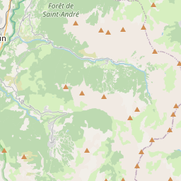
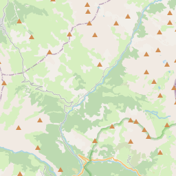
No mapa
Último preço
—
Preço mínimo
—
Mediana 7 d
—
Vendas 30 d
0
Faixa 30 d
—
Em circulação
0
Cotação
mediana
mín – máx
vendas
Sem vendas no período
Ver tabela
| Data | mediana | Mín | Máx | vendas |
|---|
Histórico de vendas
- Última venda
- —
- Média 30 d
- —
- Mínima 30 d
- —
- Máxima 30 d
- —
- Vendas 7 d
- 0
- Vendas 30 d
- 0
Ainda sem vendas.
Vendas anônimas: sem comprador nem vendedor. Os números contam só vendas entre jogadores.
Na Wikipédia
Texto em inglês Ainda não há artigo no seu idioma: trecho em inglês.
The Col de Vars, elevation 2108 m (6916 ft) is a high mountain pass in the Alps between the departments of Hautes-Alpes and Alpes-de-Haute-Provence in France. It connects the Ubaye Valley with the Queyras valley and Embrun. It is traversed by highway D 902, which leads from Saint-Paul-sur-Ubaye in the southeast to Vars and on to Guillestre in the northwest. The pass has been included in the Tour de France 33 times since 1922, when Philippe Thys crossed the pass for the first time.
Texto: Wikipédia em inglês, CC BY-SA 4.0. · Imagem: Zehnfinger (CC BY-SA 3.0) ·
Cartas próximas
-

Col de la Cayolle
Mountain pass
Nº Q1107430 ★★★
Sem ofertas
-

Maddalena Pass
Mountain pass
Nº Q1107381 ★★★★
Sem ofertas
-

Col de Rousset
Mountain pass
Nº Q1107388 ★★★
Sem ofertas
-

Col des Annes
Mountain pass in France
Nº Q49131288 ★★
Sem ofertas
-

Col de Turini
Mountain pass
Nº Q1107405 ★★★
Sem ofertas
-

Col de l'Espigoulier
Nº Q2982146 ★★
Sem ofertas