
Dandenong
City in Victoria, Australia
Dandenong ( DAN-dih-nong) is a southeastern suburb of Melbourne, Victoria, Australia, about 29 km (18 mi) from the Melbourne CBD. It is the council seat of the City of Greater Dandenong local government area, with a recorded population of 30,127 at the 2021 census.
Nº Q1159408 ★
Common · Places
Dandenong
City in Victoria, Australia
Dandenong ( DAN-dih-nong) is a southeastern suburb of Melbourne, Victoria, Australia, about 29 km (18 mi) from the Melbourne CBD. It is the council seat of the City of Greater Dandenong local government area, with a recorded population of 30,127 at the 2021 census.
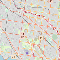
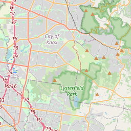
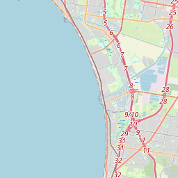
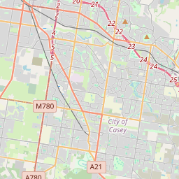
On the map
Last price
—
Floor price
—
7-day median
—
30-day sales
0
30-day range
—
In circulation
0
Price history
median
low – high
sales
No sales in this period
Show table
| Date | median | Low | High | sales |
|---|
Sales history
- Last sale
- —
- 30-day average
- —
- 30-day low
- —
- 30-day high
- —
- Sales 7d
- 0
- Sales 30d
- 0
No sales yet.
Anonymous sales: no buyer or seller shown. Figures count player-to-player sales only.
From Wikipedia
Dandenong ( DAN-dih-nong) is a southeastern suburb of Melbourne, Victoria, Australia, about 29 km (18 mi) from the Melbourne CBD. It is the council seat of the City of Greater Dandenong local government area, with a recorded population of 30,127 at the 2021 census. Situated mainly on the northwest bank of the lower Dandenong Creek, it is 21.6 km (13.4 mi) from the eponymous Dandenong Ranges to its northeast and completely unrelated in both location and nature of the settlement. A regional transport hub and manufacturing centre of Victoria, Dandenong is located at the junctional region of the Dandenong Valley Highway, Princes Highway, Monash Freeway and Dingley Freeway, and is the gateway town of the Gippsland railway line into West Gippsland. It is directly neighboured from the north and south by the two sister suburbs Dandenong North and Dandenong South, from the east by Doveton, and from the northwest and southwest by Noble Park and Keysborough, respectively. The easternmost and westernmost neighbourhoods of the suburb are also unofficially named Dandenong East and Dandenong West, separated from the main portions of the suburb by Stud Road and Princes Highway, and Cheltenham Road and Gladstone Road/Jones Road/Bennet Street, respectively. Dandenong began as a township in 1852, and at the start of the 20th century was an important regional city with its own suburbs. During the mid-20th century it became a major manufacturing and commercial area, and eventually an incorporated satellite city of the expanding Greater Melbourne conurbation. A business district, the former town centre, covers much of its area and is one of the largest in Greater Melbourne. It is currently undergoing major transit-oriented urban renewal, which was first planned in the Melbourne 2030 strategy.
Text: Wikipédia, CC BY-SA 4.0. · Image: SamuelSofos (CC BY-SA 4.0) ·
Related cards

Wodonga
Regional city in Victoria, Australia
Nº Q606307 ★

Bendigo
Regional city in Victoria, Australia
Nº Q497793 ★★

Geelong
City in Victoria, Australia
Nº Q231765 ★★★

Bundoora
Suburb of Melbourne, Victoria, Australia
Nº Q4997558 ★★

Suburban Rail Loop
Proposed railway line in Melbourne, Victoria, Australia
Nº Q60741519 ★★

City of Melbourne
Local government area in Victoria, Australia
Nº Q1919098 ★★