
Dandenong
Ville australienne
Dandenong ( DAN-dih-nong) is a southeastern suburb of Melbourne, Victoria, Australia, about 29 km (18 mi) from the Melbourne CBD. It is the council seat of the City of Greater Dandenong local government area, with a recorded population of 30,127 at the 2021 census.
Nº Q1159408 ★
Commune · Lieux
Dandenong
Ville australienne
Dandenong ( DAN-dih-nong) is a southeastern suburb of Melbourne, Victoria, Australia, about 29 km (18 mi) from the Melbourne CBD. It is the council seat of the City of Greater Dandenong local government area, with a recorded population of 30,127 at the 2021 census.
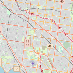
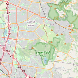
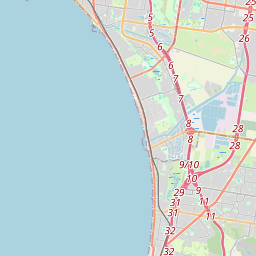
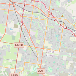
Sur la carte
Dernier prix
—
Prix plancher
—
Médiane 7 j
—
Ventes 30 j
0
Fourchette 30 j
—
En circulation
0
Cours
médiane
min – max
ventes
Aucune vente sur la période
Voir le tableau
| Date | médiane | Min | Max | ventes |
|---|
Historique des ventes
- Dernière vente
- —
- Moyenne 30 j
- —
- Plus bas 30 j
- —
- Plus haut 30 j
- —
- Ventes 7 j
- 0
- Ventes 30 j
- 0
Aucune vente pour l'instant.
Ventes anonymes : ni acheteur ni vendeur. Les chiffres ne comptent que les ventes entre joueurs.
Sur Wikipédia
Texte en anglais Pas encore d'article dans ta langue : extrait en anglais.
Dandenong ( DAN-dih-nong) is a southeastern suburb of Melbourne, Victoria, Australia, about 29 km (18 mi) from the Melbourne CBD. It is the council seat of the City of Greater Dandenong local government area, with a recorded population of 30,127 at the 2021 census. Situated mainly on the northwest bank of the lower Dandenong Creek, it is 21.6 km (13.4 mi) from the eponymous Dandenong Ranges to its northeast and completely unrelated in both location and nature of the settlement. A regional transport hub and manufacturing centre of Victoria, Dandenong is located at the junctional region of the Dandenong Valley Highway, Princes Highway, Monash Freeway and Dingley Freeway, and is the gateway town of the Gippsland railway line into West Gippsland. It is directly neighboured from the north and south by the two sister suburbs Dandenong North and Dandenong South, from the east by Doveton, and from the northwest and southwest by Noble Park and Keysborough, respectively. The easternmost and westernmost neighbourhoods of the suburb are also unofficially named Dandenong East and Dandenong West, separated from the main portions of the suburb by Stud Road and Princes Highway, and Cheltenham Road and Gladstone Road/Jones Road/Bennet Street, respectively. Dandenong began as a township in 1852, and at the start of the 20th century was an important regional city with its own suburbs. During the mid-20th century it became a major manufacturing and commercial area, and eventually an incorporated satellite city of the expanding Greater Melbourne conurbation. A business district, the former town centre, covers much of its area and is one of the largest in Greater Melbourne. It is currently undergoing major transit-oriented urban renewal, which was first planned in the Melbourne 2030 strategy.
Texte : Wikipédia en anglais, CC BY-SA 4.0. · Image : SamuelSofos (CC BY-SA 4.0) ·
Cartes voisines

Wodonga
Établissement humain, Victoria, Nouvelle-Galles du Sud, Australie
Nº Q606307 ★

Bendigo
Ville du centre de l'État de Victoria, Australie
Nº Q497793 ★★

Geelong
Ville portuaire de l'État du Victoria, Australie
Nº Q231765 ★★★

Bundoora
Établissement humain, circonscription de Scullin, Victoria, Australie
Nº Q4997558 ★★

Suburban Rail Loop
Proposed railway line in Melbourne, Victoria, Australia
Nº Q60741519 ★★

Ville de Melbourne
Zone de gouvernement local à Victoria, Australie
Nº Q1919098 ★★