
Dixie Highway
Auto trail
Dixie Highway was a United States auto trail first planned in 1914 to connect the Midwest with the South. It was part of a system and was expanded from an earlier Miami to Montreal highway. The final system is better understood as a network of connected paved roads, rather than one single highway.
Nº Q818896 ★★
Uncommon · Places
Dixie Highway
Auto trail
Dixie Highway was a United States auto trail first planned in 1914 to connect the Midwest with the South. It was part of a system and was expanded from an earlier Miami to Montreal highway. The final system is better understood as a network of connected paved roads, rather than one single highway.
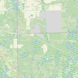
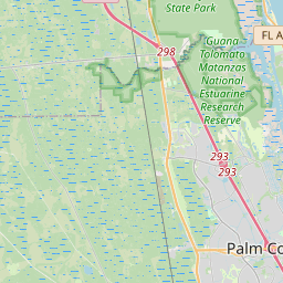
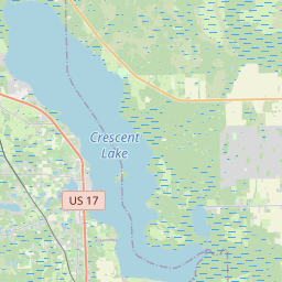
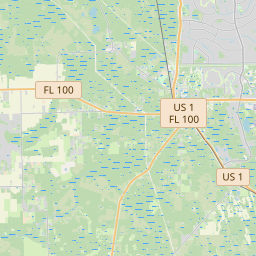
On the map
Last price
—
Floor price
—
7-day median
—
30-day sales
0
30-day range
—
In circulation
0
Price history
median
low – high
sales
No sales in this period
Show table
| Date | median | Low | High | sales |
|---|
Sales history
- Last sale
- —
- 30-day average
- —
- 30-day low
- —
- 30-day high
- —
- Sales 7d
- 0
- Sales 30d
- 0
No sales yet.
Anonymous sales: no buyer or seller shown. Figures count player-to-player sales only.
From Wikipedia
Dixie Highway was a United States auto trail first planned in 1914 to connect the Midwest with the South. It was part of a system and was expanded from an earlier Miami to Montreal highway. The final system is better understood as a network of connected paved roads, rather than one single highway. It was constructed and expanded from 1915 to 1929. The Dixie Highway was inspired by the example of the slightly earlier Lincoln Highway, the first road across the United States. The prime booster of both projects was promoter and businessman Carl G. Fisher. It was overseen by the Dixie Highway Association and funded by a group of individuals, businesses, local governments, and states. In the early years, the U.S. federal government played little role, but from the early 1920s on it provided increasing funding until 1927. That year the Dixie Highway Association was disbanded and the highway was taken over by the federal government as part of the U.S. Route system, with some portions becoming state roads. The route was marked by a red stripe with the white letters "DH", usually with a white stripe above and below. The logo was commonly painted on utility poles.
Text: Wikipédia, CC BY-SA 4.0. · Image: Photographer not credited. (Public domain) ·
Related cards

Lincoln Highway
Historic long-distance highway in the United States
Nº Q819117 ★★★

U.S. Route 80
Numbered Highway in the United States
Nº Q410457 ★

U.S. Route 40
U.S. Numbered Highway in the United States
Nº Q409496 ★★

Nickel Plate Road
Defunct railway in the mid-central United States (1881–1964)
Nº Q3339032 ★

Interstate Highway System
Network of freeways in the United States
Nº Q94247 ★★★★

Dymaxion car
Concept car designed by American inventor Buckminster Fuller
Nº Q2628621 ★★