
Dixie Highway
Auto trail
Dixie Highway was a United States auto trail first planned in 1914 to connect the Midwest with the South. It was part of a system and was expanded from an earlier Miami to Montreal highway. The final system is better understood as a network of connected paved roads, rather than one single highway.
Nº Q818896 ★★
Poco común · Lugares
Dixie Highway
Auto trail
Dixie Highway was a United States auto trail first planned in 1914 to connect the Midwest with the South. It was part of a system and was expanded from an earlier Miami to Montreal highway. The final system is better understood as a network of connected paved roads, rather than one single highway.
En el mapa
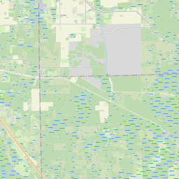
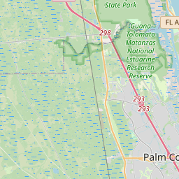
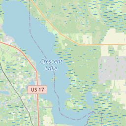
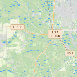
Último precio
—
Precio mínimo
—
Mediana 7 d
—
Ventas 30 d
0
Rango 30 d
—
En circulación
0
Cotización
mediana
mín – máx
ventas
Sin ventas en el periodo
Ver tabla
| Fecha | mediana | Mín | Máx | ventas |
|---|
Historial de ventas
- Última venta
- —
- Media 30 d
- —
- Mínimo 30 d
- —
- Máximo 30 d
- —
- Ventas 7 d
- 0
- Ventas 30 d
- 0
Aún no hay ventas.
Ventas anónimas: sin comprador ni vendedor. Las cifras solo cuentan ventas entre jugadores.
En Wikipedia
Texto en inglés Aún no hay artículo en tu idioma: extracto en inglés.
Dixie Highway was a United States auto trail first planned in 1914 to connect the Midwest with the South. It was part of a system and was expanded from an earlier Miami to Montreal highway. The final system is better understood as a network of connected paved roads, rather than one single highway. It was constructed and expanded from 1915 to 1929. The Dixie Highway was inspired by the example of the slightly earlier Lincoln Highway, the first road across the United States. The prime booster of both projects was promoter and businessman Carl G. Fisher. It was overseen by the Dixie Highway Association and funded by a group of individuals, businesses, local governments, and states. In the early years, the U.S. federal government played little role, but from the early 1920s on it provided increasing funding until 1927. That year the Dixie Highway Association was disbanded and the highway was taken over by the federal government as part of the U.S. Route system, with some portions becoming state roads. The route was marked by a red stripe with the white letters "DH", usually with a white stripe above and below. The logo was commonly painted on utility poles.
Texto: Wikipedia en inglés, CC BY-SA 4.0. · Imagen: Photographer not credited. (Public domain) ·
Cartas cercanas

Autopista Lincoln
Nº Q819117 ★★★

U.S. Route 80
Red de carreteras federales de EE.UU.
Nº Q410457 ★

U.S. Route 40
U.S. Numbered Highway in the United States
Nº Q409496 ★★

Nickel Plate Road
Defunct railway in the mid-central United States (1881–1964)
Nº Q3339032 ★

Sistema interestatal de autopistas
Sistema de carreteras que conectan las principales ciudades de los 48 estados contiguos de los Estados Unidos
Nº Q94247 ★★★★

Coche Dymaxion
Nº Q2628621 ★★