


Doux (river)
Watercourse
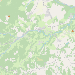
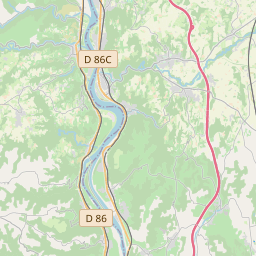
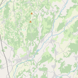
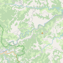
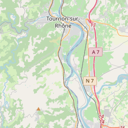
The Doux (French pronunciation: [du] ; Occitan: Dòç) is a tributary of the Rhône in the Haute-Loire and Ardèche departments, France. It is 70 km (43 mi) long. It begins in the Massif Central and joins the Rhône in Tournon-sur-Rhône.
Nº Q1252810 ★★
Uncommon · Places
Doux (river)
Watercourse
The Doux (French pronunciation: [du] ; Occitan: Dòç) is a tributary of the Rhône in the Haute-Loire and Ardèche departments, France. It is 70 km (43 mi) long. It begins in the Massif Central and joins the Rhône in Tournon-sur-Rhône.
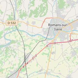
On the map
Last price
—
Floor price
—
7-day median
—
30-day sales
0
30-day range
—
In circulation
0
Price history
median
low – high
sales
No sales in this period
Show table
| Date | median | Low | High | sales |
|---|
Sales history
- Last sale
- —
- 30-day average
- —
- 30-day low
- —
- 30-day high
- —
- Sales 7d
- 0
- Sales 30d
- 0
No sales yet.
Anonymous sales: no buyer or seller shown. Figures count player-to-player sales only.
From Wikipedia
The Doux (French pronunciation: [du] ; Occitan: Dòç) is a tributary of the Rhône in the Haute-Loire and Ardèche departments, France. It is 70 km (43 mi) long. It begins in the Massif Central and joins the Rhône in Tournon-sur-Rhône. It passes through the town Lamastre. The Chemin de fer du Vivarais heritage railway from Tournon-sur-Rhône to Lamastre runs through the Doux valley.
Text: Wikipédia, CC BY-SA 4.0. · Image: Celeda (CC BY-SA 4.0) ·
Related cards
-

Bidouze
River in the France
Nº Q794653 ★
Not listed
-

Duzon
River in France
Nº Q1268133 ★
Not listed
-

Volane
Watercourse
Nº Q540362 ★
Not listed
-

Arroux
River in France
Nº Q702925 ★★
Not listed
-

Échez
River in France
Nº Q273387 ★
Not listed
-

Aigues
River in France
Nº Q1385804 ★★
Not listed