
Doux (river)
Watercourse
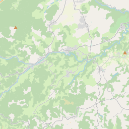
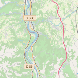
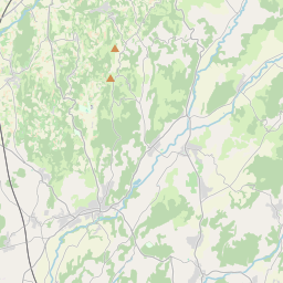
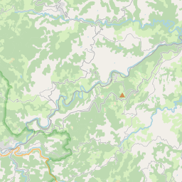
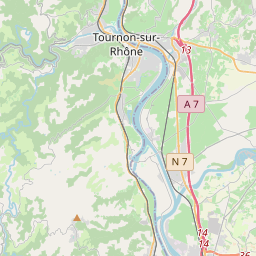
The Doux (French pronunciation: [du] ; Occitan: Dòç) is a tributary of the Rhône in the Haute-Loire and Ardèche departments, France. It is 70 km (43 mi) long. It begins in the Massif Central and joins the Rhône in Tournon-sur-Rhône.
Nº Q1252810 ★★
Incomum · Lugares
Doux (river)
Watercourse
The Doux (French pronunciation: [du] ; Occitan: Dòç) is a tributary of the Rhône in the Haute-Loire and Ardèche departments, France. It is 70 km (43 mi) long. It begins in the Massif Central and joins the Rhône in Tournon-sur-Rhône.
No mapa
Último preço
—
Preço mínimo
—
Mediana 7 d
—
Vendas 30 d
0
Faixa 30 d
—
Em circulação
0
Cotação
mediana
mín – máx
vendas
Sem vendas no período
Ver tabela
| Data | mediana | Mín | Máx | vendas |
|---|
Histórico de vendas
- Última venda
- —
- Média 30 d
- —
- Mínima 30 d
- —
- Máxima 30 d
- —
- Vendas 7 d
- 0
- Vendas 30 d
- 0
Ainda sem vendas.
Vendas anônimas: sem comprador nem vendedor. Os números contam só vendas entre jogadores.
Na Wikipédia
Texto em inglês Ainda não há artigo no seu idioma: trecho em inglês.
The Doux (French pronunciation: [du] ; Occitan: Dòç) is a tributary of the Rhône in the Haute-Loire and Ardèche departments, France. It is 70 km (43 mi) long. It begins in the Massif Central and joins the Rhône in Tournon-sur-Rhône. It passes through the town Lamastre. The Chemin de fer du Vivarais heritage railway from Tournon-sur-Rhône to Lamastre runs through the Doux valley.
Texto: Wikipédia em inglês, CC BY-SA 4.0. · Imagem: Celeda (CC BY-SA 4.0) ·
Cartas próximas
-

Rio Arroux
Nº Q702925 ★★
Sem ofertas
-

Aigues
River in France
Nº Q1385804 ★★
Sem ofertas
-

Touch (river)
French river, tributary of the Garonne
Nº Q897439 ★★
Sem ofertas
-

Rio Agout
Nº Q395784 ★★★
Sem ofertas
-

Rio Ardèche
Nº Q640263 ★★★★
Sem ofertas
-

Rio Douve
Nº Q1252782 ★★
Sem ofertas