


Gebaberg
Mountain
The Gebaberg, also called the Hohe Geba or Die Geba, near Geba in the county of Schmalkalden-Meiningen in southern Thuringia, Germany, is 750.7 m above sea level (NHN), and thus the highest point of the Anterior Rhön (Vorderer Rhön).
Nº Q1496799 ★★
Uncommon · Places
Gebaberg
Mountain
The Gebaberg, also called the Hohe Geba or Die Geba, near Geba in the county of Schmalkalden-Meiningen in southern Thuringia, Germany, is 750.7 m above sea level (NHN), and thus the highest point of the Anterior Rhön (Vorderer Rhön).
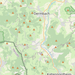
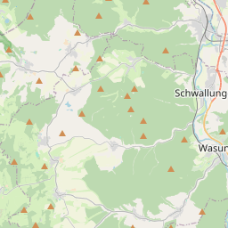
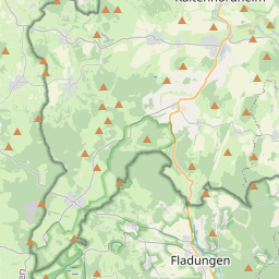
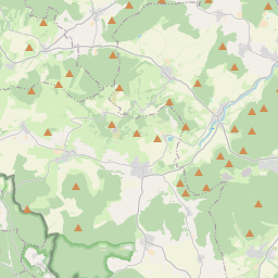
On the map
From Wikipedia
The Gebaberg, also called the Hohe Geba or Die Geba, near Geba in the county of Schmalkalden-Meiningen in southern Thuringia, Germany, is 750.7 m above sea level (NHN), and thus the highest point of the Anterior Rhön (Vorderer Rhön).
Text: Wikipédia, CC BY-SA 4.0. · Image: Jörg Braukmann (CC BY-SA 3.0) ·
Related cards
-

Aremberg (mountain)
Mountain
Nº Q641162 ★
Not listed
-
G
Großer Ehrenberg
Mountain in Germany
Nº Q1444446 ★
Not listed
-

Großer Beerberg
Highest point of Thuringian Forest, Germany
Nº Q896523 ★★★
Not listed
-

Großer Farmdenkopf
Mountain in Thuringia, Germany
Nº Q1548670 ★
Not listed
-

Ebbe Mountains
Mountain range
Nº Q778810 ★★
Not listed
-

Lenne Mountains
Mountains in Germany
Nº Q1818025 ★
Not listed