


Gebaberg
Mountain
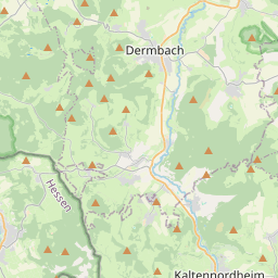
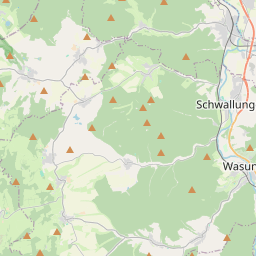
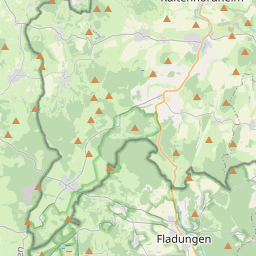
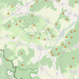
The Gebaberg, also called the Hohe Geba or Die Geba, near Geba in the county of Schmalkalden-Meiningen in southern Thuringia, Germany, is 750.7 m above sea level (NHN), and thus the highest point of the Anterior Rhön (Vorderer Rhön).
Nº Q1496799 ★★
Peu commune · Lieux
Gebaberg
Mountain
The Gebaberg, also called the Hohe Geba or Die Geba, near Geba in the county of Schmalkalden-Meiningen in southern Thuringia, Germany, is 750.7 m above sea level (NHN), and thus the highest point of the Anterior Rhön (Vorderer Rhön).
Sur la carte
Sur Wikipédia
Texte en anglais Pas encore d'article dans ta langue : extrait en anglais.
The Gebaberg, also called the Hohe Geba or Die Geba, near Geba in the county of Schmalkalden-Meiningen in southern Thuringia, Germany, is 750.7 m above sea level (NHN), and thus the highest point of the Anterior Rhön (Vorderer Rhön).
Texte : Wikipédia en anglais, CC BY-SA 4.0. · Image : Jörg Braukmann (CC BY-SA 3.0) ·
Cartes voisines
-

Aremberg
Montagne allemande
Nº Q641162 ★
Pas en vente
-
G
Großer Ehrenberg
Mountain in Germany
Nº Q1444446 ★
Pas en vente
-

Großer Beerberg
Montagne allemande, point culminant de la forêt de Thuringe
Nº Q896523 ★★★
Pas en vente
-

Großer Farmdenkopf
Mountain in Thuringia, Germany
Nº Q1548670 ★
Pas en vente
-

Ebbe Mountains
Mountain range
Nº Q778810 ★★
Pas en vente
-

Lenne Mountains
Mountains in Germany
Nº Q1818025 ★
Pas en vente