
Guil
River in France
The Guil (French: le Guil) is a 51.6-kilometre (32.1 mi) long river in the Hautes-Alpes département, southeastern France. Its drainage basin is 727 km2 (281 sq mi). Its source is several small streams which converge into the lake Lestio, at Ristolas.
Nº Q1553801 ★★
Uncommon · Places
Guil
River in France
The Guil (French: le Guil) is a 51.6-kilometre (32.1 mi) long river in the Hautes-Alpes département, southeastern France. Its drainage basin is 727 km2 (281 sq mi). Its source is several small streams which converge into the lake Lestio, at Ristolas.
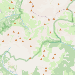
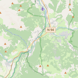
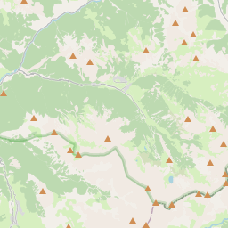
On the map
Last price
—
Floor price
—
7-day median
—
30-day sales
0
30-day range
—
In circulation
0
Price history
median
low – high
sales
No sales in this period
Show table
| Date | median | Low | High | sales |
|---|
Sales history
- Last sale
- —
- 30-day average
- —
- 30-day low
- —
- 30-day high
- —
- Sales 7d
- 0
- Sales 30d
- 0
No sales yet.
Anonymous sales: no buyer or seller shown. Figures count player-to-player sales only.
From Wikipedia
The Guil (French: le Guil) is a 51.6-kilometre (32.1 mi) long river in the Hautes-Alpes département, southeastern France. Its drainage basin is 727 km2 (281 sq mi). Its source is several small streams which converge into the lake Lestio, at Ristolas. It flows generally west, through the Queyras. It is a left tributary of the Durance into which it flows at Guillestre.
Text: Wikipédia, CC BY-SA 4.0. · Image: Wikimedia Commons (Public domain) ·
Related cards

Gluiras
Commune in Ardèche, France
Nº Q840729 ★★

Dore (river)
River in France
Nº Q1243828 ★★★

Lignon du Velay
River in France, tributary of the Loire
Nº Q1125660 ★★★

Thur (France)
River in France
Nº Q127629 ★★

Queyras
Valley of the Hautes-Alpes department
Nº Q2066577 ★★★★

Gail (river)
River in Austria
Nº Q876978 ★★★