
Guil
Río de Francia
The Guil (French: le Guil) is a 51.6-kilometre (32.1 mi) long river in the Hautes-Alpes département, southeastern France. Its drainage basin is 727 km2 (281 sq mi). Its source is several small streams which converge into the lake Lestio, at Ristolas.
Nº Q1553801 ★★
Poco común · Lugares
Guil
Río de Francia
The Guil (French: le Guil) is a 51.6-kilometre (32.1 mi) long river in the Hautes-Alpes département, southeastern France. Its drainage basin is 727 km2 (281 sq mi). Its source is several small streams which converge into the lake Lestio, at Ristolas.
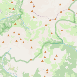
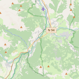
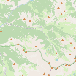
En el mapa
Último precio
—
Precio mínimo
—
Mediana 7 d
—
Ventas 30 d
0
Rango 30 d
—
En circulación
0
Cotización
mediana
mín – máx
ventas
Sin ventas en el periodo
Ver tabla
| Fecha | mediana | Mín | Máx | ventas |
|---|
Historial de ventas
- Última venta
- —
- Media 30 d
- —
- Mínimo 30 d
- —
- Máximo 30 d
- —
- Ventas 7 d
- 0
- Ventas 30 d
- 0
Aún no hay ventas.
Ventas anónimas: sin comprador ni vendedor. Las cifras solo cuentan ventas entre jugadores.
En Wikipedia
Texto en inglés Aún no hay artículo en tu idioma: extracto en inglés.
The Guil (French: le Guil) is a 51.6-kilometre (32.1 mi) long river in the Hautes-Alpes département, southeastern France. Its drainage basin is 727 km2 (281 sq mi). Its source is several small streams which converge into the lake Lestio, at Ristolas. It flows generally west, through the Queyras. It is a left tributary of the Durance into which it flows at Guillestre.
Texto: Wikipedia en inglés, CC BY-SA 4.0. · Imagen: Wikimedia Commons (Public domain) ·
Cartas cercanas

Dore
Río de Francia
Nº Q1243828 ★★★

Lignon du Velay
Río de Francia
Nº Q1125660 ★★★

Thur
Río de Francia
Nº Q127629 ★★

Queyras
Valley of the Hautes-Alpes department
Nº Q2066577 ★★★★

Río Gail
Río en Austria
Nº Q876978 ★★★

Río Aveyron
Río de Francia del departamento de Aveyron, afluente del Garona
Nº Q751887 ★★★