
Hochgern
Mountain
The Hochgern is a mountain found in the Bavarian district of Traunstein, in Germany. It is part of the Chiemgau Alps and has a height of 1748 meters above sea level. The Hochgern marks the junction of the municipalities of Unterwössen, Marquartstein and Ruhpolding, as well as the Urschlau Forest district.
Nº Q1515760 ★★
Uncommon · Places
Hochgern
Mountain
The Hochgern is a mountain found in the Bavarian district of Traunstein, in Germany. It is part of the Chiemgau Alps and has a height of 1748 meters above sea level. The Hochgern marks the junction of the municipalities of Unterwössen, Marquartstein and Ruhpolding, as well as the Urschlau Forest district.
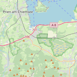
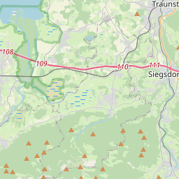
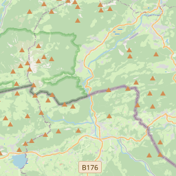
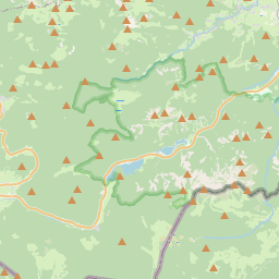
On the map
Last price
—
Floor price
—
7-day median
—
30-day sales
0
30-day range
—
In circulation
0
Price history
median
low – high
sales
No sales in this period
Show table
| Date | median | Low | High | sales |
|---|
Sales history
- Last sale
- —
- 30-day average
- —
- 30-day low
- —
- 30-day high
- —
- Sales 7d
- 0
- Sales 30d
- 0
No sales yet.
Anonymous sales: no buyer or seller shown. Figures count player-to-player sales only.
From Wikipedia
The Hochgern is a mountain found in the Bavarian district of Traunstein, in Germany. It is part of the Chiemgau Alps and has a height of 1748 meters above sea level. The Hochgern marks the junction of the municipalities of Unterwössen, Marquartstein and Ruhpolding, as well as the Urschlau Forest district.
Text: Wikipédia, CC BY-SA 4.0. · Image: ChrisWoehlk (CC BY-SA 3.0) ·


