
Hochgern
Montagne allemande
The Hochgern is a mountain found in the Bavarian district of Traunstein, in Germany. It is part of the Chiemgau Alps and has a height of 1748 meters above sea level. The Hochgern marks the junction of the municipalities of Unterwössen, Marquartstein and Ruhpolding, as well as the Urschlau Forest district.
Nº Q1515760 ★★
Peu commune · Lieux
Hochgern
Montagne allemande
The Hochgern is a mountain found in the Bavarian district of Traunstein, in Germany. It is part of the Chiemgau Alps and has a height of 1748 meters above sea level. The Hochgern marks the junction of the municipalities of Unterwössen, Marquartstein and Ruhpolding, as well as the Urschlau Forest district.
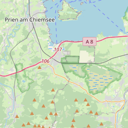
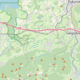
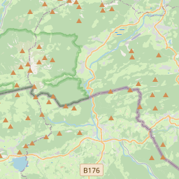
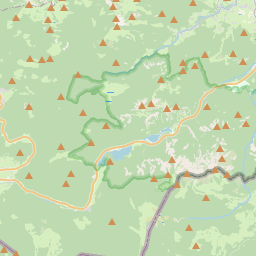
Sur la carte
Dernier prix
—
Prix plancher
—
Médiane 7 j
—
Ventes 30 j
0
Fourchette 30 j
—
En circulation
0
Cours
médiane
min – max
ventes
Aucune vente sur la période
Voir le tableau
| Date | médiane | Min | Max | ventes |
|---|
Historique des ventes
- Dernière vente
- —
- Moyenne 30 j
- —
- Plus bas 30 j
- —
- Plus haut 30 j
- —
- Ventes 7 j
- 0
- Ventes 30 j
- 0
Aucune vente pour l'instant.
Ventes anonymes : ni acheteur ni vendeur. Les chiffres ne comptent que les ventes entre joueurs.
Sur Wikipédia
Texte en anglais Pas encore d'article dans ta langue : extrait en anglais.
The Hochgern is a mountain found in the Bavarian district of Traunstein, in Germany. It is part of the Chiemgau Alps and has a height of 1748 meters above sea level. The Hochgern marks the junction of the municipalities of Unterwössen, Marquartstein and Ruhpolding, as well as the Urschlau Forest district.
Texte : Wikipédia en anglais, CC BY-SA 4.0. · Image : ChrisWoehlk (CC BY-SA 3.0) ·


