
Hochgolling
Mountain in the Schladminger Tauern at the border Salzburg / Styria
The Hochgolling (2,862 m) is a mountain of the Eastern Alps, located on the border of Steiermark and Salzburg, Austria, near the ski resort of Schladming. It is the highest peak of the Lower Tauern range.
Nº Q700259 ★★★
Rare · Places
Hochgolling
Mountain in the Schladminger Tauern at the border Salzburg / Styria
The Hochgolling (2,862 m) is a mountain of the Eastern Alps, located on the border of Steiermark and Salzburg, Austria, near the ski resort of Schladming. It is the highest peak of the Lower Tauern range.
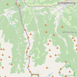
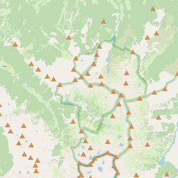
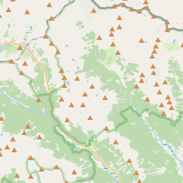
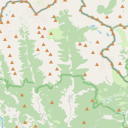
On the map
Last price
—
Floor price
—
7-day median
—
30-day sales
0
30-day range
—
In circulation
0
Price history
median
low – high
sales
No sales in this period
Show table
| Date | median | Low | High | sales |
|---|
Sales history
- Last sale
- —
- 30-day average
- —
- 30-day low
- —
- 30-day high
- —
- Sales 7d
- 0
- Sales 30d
- 0
No sales yet.
Anonymous sales: no buyer or seller shown. Figures count player-to-player sales only.
From Wikipedia
The Hochgolling (2,862 m) is a mountain of the Eastern Alps, located on the border of Steiermark and Salzburg, Austria, near the ski resort of Schladming. It is the highest peak of the Lower Tauern range. A hiking rather than a climbing peak, the mountain is relatively low by alpine standards, but still towers over all of its neighbours. Its northern face is a 1,200 m high wall, while its other slopes are more gentle. A long ridge slopes south from the summit, dividing the Göriach Valley from the Lessach Valley. Due to Hochgolling's topographic isolation the views from its summit are panoramic, stretching from the glaciated peaks of the vast High Tauern in the west to the lower Gurktal Alps to the east, and including the Julian Alps, Kamnik Alps and Karawanks to the south.
Text: Wikipédia, CC BY-SA 4.0. · Image: Evelyn-Theresia (CC BY-SA 3.0) ·
Related cards

Hochwildstelle
Mountain of the Schladming Tauern in Styria, Austria
Nº Q1535040 ★★

Hochvogel
Mountain of the Allgäu Alps at the border of Tyrol, Austria, and Bavaria, Germany
Nº Q455546 ★★★★

Hoher Tenn
Mountain in the Glockner Group in Salzburg
Nº Q670652 ★★

Hochlantsch
Mountain in the Grazer Bergland in Styria
Nº Q21871837 ★★

Glocknerwand
Mountain in the Glockner Group at the border Carinthia / East Tyrol
Nº Q688445 ★★★

Hochschwab Mountains
Mountain range in the Northern Limestone Alps of Austria
Nº Q871803 ★★