
Hochwildstelle
Mountain of the Schladming Tauern in Styria, Austria
The Hochwildstelle or Hohe Wildstelle is a mountain, 2,747 m (AA), and the second highest peak in the Schladming Tauern as well as the highest mountain entirely on Styrian territory in Austria. Its summit is near the tripoint of the three municipalities of Aich, Michaelerberg-Pruggern and Schladming.
Nº Q1535040 ★★
Uncommon · Places
Hochwildstelle
Mountain of the Schladming Tauern in Styria, Austria
The Hochwildstelle or Hohe Wildstelle is a mountain, 2,747 m (AA), and the second highest peak in the Schladming Tauern as well as the highest mountain entirely on Styrian territory in Austria. Its summit is near the tripoint of the three municipalities of Aich, Michaelerberg-Pruggern and Schladming.
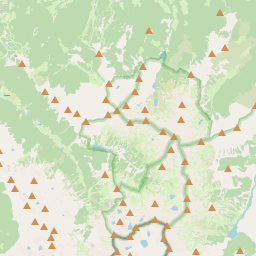
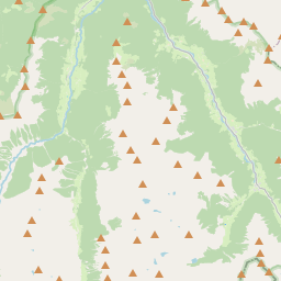
On the map
Last price
—
Floor price
—
7-day median
—
30-day sales
0
30-day range
—
In circulation
0
Price history
median
low – high
sales
No sales in this period
Show table
| Date | median | Low | High | sales |
|---|
Sales history
- Last sale
- —
- 30-day average
- —
- 30-day low
- —
- 30-day high
- —
- Sales 7d
- 0
- Sales 30d
- 0
No sales yet.
Anonymous sales: no buyer or seller shown. Figures count player-to-player sales only.
From Wikipedia
The Hochwildstelle or Hohe Wildstelle is a mountain, 2,747 m (AA), and the second highest peak in the Schladming Tauern as well as the highest mountain entirely on Styrian territory in Austria. Its summit is near the tripoint of the three municipalities of Aich, Michaelerberg-Pruggern and Schladming. The step-like summit block with its mighty rock faces dominates the edge of the mountain range along the Enns Valley, before the range climbs even higher still to the summit of the Hochgolling on the main chain of the Alps. The knife-edged south arête drops away, immediately south of the summit cross, down to the col of Wildlochscharte (2,488 m) and then climbs again to the summit of the Himmelreich (2,500 m), before dropping into the valley and the Preintaler Hut from the peak of Schneiders (2,328 m). The ridgeline, which is relatively sharp for a crystalline mountain range runs roughly north to south. The region is very well watered. Even in the vicinity of the very high massif there are several mountain lakes and two large waterfalls. Two waymarked routes run up the Hochwildstelle: From the col of Neualmscharte (2,347 m) via the Kleine Wildstelle and the northwest arête taking 1 hour, UIAA grade I. The Neualmscharte may be reached from either the Hans Wödl Hut or the Preintaler Hut on marked footpaths in about 2 – 3 hours. From the col of Wildlochscharte (2,488 m) via the south arête in 1 hour, UIAA grade I. The Wildlochscharte may be reached on signed paths in 2 hours from the Preintaler Hut or the Breitlahn Hut (1,100 m). The first ascent was by M. Reiter in 1801.
Text: Wikipédia, CC BY-SA 4.0. · Image: WA-Wien (CC BY-SA 3.0) ·
Related cards

Hochgolling
Mountain in the Schladminger Tauern at the border Salzburg / Styria
Nº Q700259 ★★★

Ybbstal Alps
Mountain range
Nº Q697095 ★★

Mieming Plateau
Plateau in Austria
Nº Q874988 ★★

Hochvogel
Mountain of the Allgäu Alps at the border of Tyrol, Austria, and Bavaria, Germany
Nº Q455546 ★★★★

Triebener Tauern Pass
Mountain pass in the Niedere Tauern in Styria
Nº Q2452827 ★★

Hohe Salve
Mountain in the Kitzbühel Alps in Tyrol
Nº Q668367 ★★★