
Kannur district
District of Kerala, India
Kannur district (pronounced [kɐɳ.ɳuːr] ) is one of the 14 districts along the west coast in the state of Kerala, India. The city of Kannur is the district headquarters and gives the district its name. The old name, Cannanore, is the anglicized form of the Malayalam name "Kannur".
Nº Q2980652 ★
Common · Places
Kannur district
District of Kerala, India
Kannur district (pronounced [kɐɳ.ɳuːr] ) is one of the 14 districts along the west coast in the state of Kerala, India. The city of Kannur is the district headquarters and gives the district its name. The old name, Cannanore, is the anglicized form of the Malayalam name "Kannur".
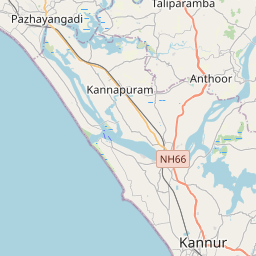
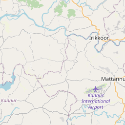
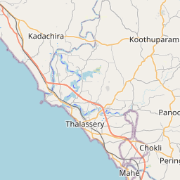
On the map
Last price
—
Floor price
—
7-day median
—
30-day sales
0
30-day range
—
In circulation
0
Price history
median
low – high
sales
No sales in this period
Show table
| Date | median | Low | High | sales |
|---|
Sales history
- Last sale
- —
- 30-day average
- —
- 30-day low
- —
- 30-day high
- —
- Sales 7d
- 0
- Sales 30d
- 0
No sales yet.
Anonymous sales: no buyer or seller shown. Figures count player-to-player sales only.
From Wikipedia
Kannur district (pronounced [kɐɳ.ɳuːr] ) is one of the 14 districts along the west coast in the state of Kerala, India. The city of Kannur is the district headquarters and gives the district its name. The old name, Cannanore, is the anglicized form of the Malayalam name "Kannur". Kannur district is bounded by Kasaragod District to the north, Kozhikode district to the south, Mahé district to the southwest and Wayanad District to the southeast. To the east, the district is bounded by the Western Ghats, which forms the border with the state of Karnataka (Kodagu district). The Arabian Sea lies to the west. Paithalmala is the highest point in Kannur District (1,372m). Enclosed within the southern part of the district is the Mahé district of the Union Territory of Puducherry. The district was established in 1957. Kannur Municipal Corporation is the sixth-largest urban local body in the state and Kannur Cantonment is the only Cantonment Board in Kerala. Indian Naval Academy at Ezhimala is the Asia's largest, and the world's third-largest, naval academy. Muzhappilangad beach is the longest Drive-In Beach in Asia and is featured among the top 6 best beaches for driving in the world in BBC article for Autos. Kannur district is home to some forts which include St. Angelo Fort, and Tellicherry Fort. Thalassery town in the district is known for the Thalassery pepper. Kannur is the sixth-most urbanised district in Kerala, with more than 50% of its residents living in urban areas. Kannur has an urban population of 1,640,986, which is the second largest in Kerala after Ernakulam district. It was part of the Malabar District under the Madras province during the British Raj.
Text: Wikipédia, CC BY-SA 4.0. · Image: MANOJTV at en.wikipedia (CC BY-SA 3.0) ·
Related cards

Kannur
City in Kannur district in Kerala, India
Nº Q4789666 ★★

Kasaragod district
District of Kerala, India
Nº Q1419703 ★★

Kozhikode district
District of Kerala, India
Nº Q1142979 ★

Thrissur district
District of Kerala, India
Nº Q2429655 ★

Karnataka
Indian state
Nº Q1185 ★★★★

Mangaluru
Coastal city in Karnataka state, India
Nº Q127041 ★★★