
Lochgilphead
Town and former burgh in Argyll, Scotland, UK
Lochgilphead (; Scottish Gaelic: Ceann Loch Gilb [kʲʰan̪ˠ l̪ˠɔx ˈkʲilip]) is a town and former burgh in Argyll and Bute, Scotland, with a population of around 2,300 people. It is the administrative centre of Argyll and Bute Council.
Nº Q1017159 ★
Common · Places
Lochgilphead
Town and former burgh in Argyll, Scotland, UK
Lochgilphead (; Scottish Gaelic: Ceann Loch Gilb [kʲʰan̪ˠ l̪ˠɔx ˈkʲilip]) is a town and former burgh in Argyll and Bute, Scotland, with a population of around 2,300 people. It is the administrative centre of Argyll and Bute Council.
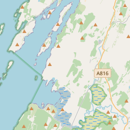
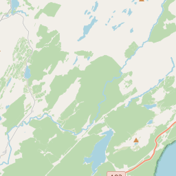
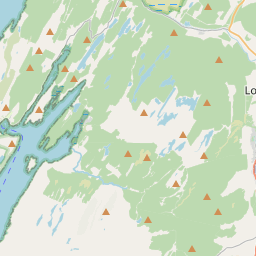
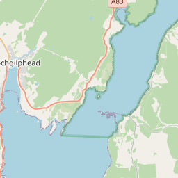
On the map
Last price
—
Floor price
—
7-day median
—
30-day sales
0
30-day range
—
In circulation
0
Price history
median
low – high
sales
No sales in this period
Show table
| Date | median | Low | High | sales |
|---|
Sales history
- Last sale
- —
- 30-day average
- —
- 30-day low
- —
- 30-day high
- —
- Sales 7d
- 0
- Sales 30d
- 0
No sales yet.
Anonymous sales: no buyer or seller shown. Figures count player-to-player sales only.
From Wikipedia
Lochgilphead (; Scottish Gaelic: Ceann Loch Gilb [kʲʰan̪ˠ l̪ˠɔx ˈkʲilip]) is a town and former burgh in Argyll and Bute, Scotland, with a population of around 2,300 people. It is the administrative centre of Argyll and Bute Council. The village lies at the end of Loch Gilp (a branch of Loch Fyne) and lies on the banks of the Crinan Canal. Lochgilphead sits on the A83, with Ardrishaig 2 miles (3 km) to the south and Inveraray 24 miles (39 km) to the north-east; Oban lies 37 miles (60 km) north on the A816. The council is based at Kilmory Castle, around which is located a woodland park and an Iron Age fort. Forestry and Land Scotland also have an office there.
Text: Wikipédia, CC BY-SA 4.0. · Image: Anne Burgess (CC BY-SA 2.0) ·
Related cards

Loch Awe
Lake in Argyll and Bute, Scotland, UK, outflows to the River Awe
Nº Q1368230 ★

Inveraray Castle
Country house near Inveraray in the county of Argyll, in western Scotland
Nº Q1671720 ★★

Bridge of Orchy
Village in Argyll and Bute, Scotland, UK
Nº Q913663 ★

Argyll
Historic shire of western Scotland; heartland of the ancient kingdom of Dál Riata, encompassing Knapdale, Kintyre, and the Inner Hebrides
Nº Q652539 ★★

Loch Lomond
Freshwater lake in Scotland, UK
Nº Q208926 ★★★

Loch Katrine
Freshwater lake and reservoir in Stirling, Scotland, UK, outflows to Achray Water and to Glengyle Water
Nº Q1867269 ★