
Lozva
River in Sverdlovsk Oblast, Russia
The Lozva (Russian: Лозьва; Northern Mansi: Лӯсум-я̄, Lūsum-jā) is a river in Sverdlovsk Oblast in Russia. At its confluence with the Sosva, the Tavda is formed. The river is 637 kilometres (396 mi) long, and its basin covers 17,800 square kilometres (6,900 mi2).
Nº Q923058 ★★
Uncommon · Places
Lozva
River in Sverdlovsk Oblast, Russia
The Lozva (Russian: Лозьва; Northern Mansi: Лӯсум-я̄, Lūsum-jā) is a river in Sverdlovsk Oblast in Russia. At its confluence with the Sosva, the Tavda is formed. The river is 637 kilometres (396 mi) long, and its basin covers 17,800 square kilometres (6,900 mi2).
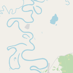
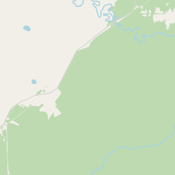
On the map


Last price
—
Floor price
—
7-day median
—
30-day sales
0
30-day range
—
In circulation
0
Price history
median
low – high
sales
No sales in this period
Show table
| Date | median | Low | High | sales |
|---|
Sales history
- Last sale
- —
- 30-day average
- —
- 30-day low
- —
- 30-day high
- —
- Sales 7d
- 0
- Sales 30d
- 0
No sales yet.
Anonymous sales: no buyer or seller shown. Figures count player-to-player sales only.
From Wikipedia
The Lozva (Russian: Лозьва; Northern Mansi: Лӯсум-я̄, Lūsum-jā) is a river in Sverdlovsk Oblast in Russia. At its confluence with the Sosva, the Tavda is formed. The river is 637 kilometres (396 mi) long, and its basin covers 17,800 square kilometres (6,900 mi2). The river freezes up in October or early November and stays icebound until late April or early May. Its main tributaries are the Pynovka, Bolshaya Yevva, Ponil, and Ivdel. In 1590 a fort was built at Lozvinsk on the river to guard the Cherdyn Route which ran over the Urals from the Vishera to the Lozva. That outpost was endangered by a Mansi chieftain from Pelym. Lozvinsk and the Cherdyn route were abandoned after 1597 when a better route, called the Babinov Road, was found through Verkhoturye. The Dyatlov Pass incident took place near the Lozva in 1959.
Text: Wikipédia, CC BY-SA 4.0. · Image: Kmhkmh (CC BY 4.0) ·
Related cards

Tavda (river)
River in Sverdlovsk and Tyumen Oblasts, Russia
Nº Q83458 ★★

Nitsa
River in Sverdlovsk Oblast, Russia
Nº Q1031029 ★★

Tagil
River in Sverdlovsk Oblast, Russia
Nº Q1344430 ★★

Pyshma (river)
River in Sverdlovsk and Tyumen Oblasts, Russia
Nº Q913174 ★★★

Protva
River in Moscow and Kaluga Oblasts, Russia
Nº Q1467086 ★★★

Savala (river)
River in Tambov and Voronezh Oblasts, Russia
Nº Q2312625 ★