
Tagil
River in Sverdlovsk Oblast, Russia
The Tagil (Russian: Тагил) is a river in Sverdlovsk Oblast, Russia. It is 414 kilometres (257 mi) long, with a drainage basin of 10,100 square kilometres (3,900 mi2). The average discharge is 40 cubic metres per second (1,400 cu ft/s).
Nº Q1344430 ★★
Uncommon · Places
Tagil
River in Sverdlovsk Oblast, Russia
The Tagil (Russian: Тагил) is a river in Sverdlovsk Oblast, Russia. It is 414 kilometres (257 mi) long, with a drainage basin of 10,100 square kilometres (3,900 mi2). The average discharge is 40 cubic metres per second (1,400 cu ft/s).
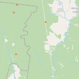
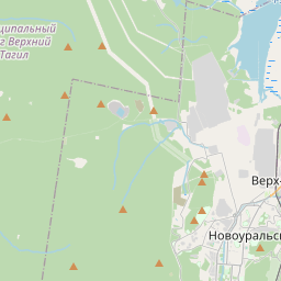
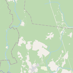
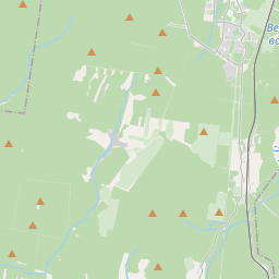
On the map
Last price
—
Floor price
—
7-day median
—
30-day sales
0
30-day range
—
In circulation
0
Price history
median
low – high
sales
No sales in this period
Show table
| Date | median | Low | High | sales |
|---|
Sales history
- Last sale
- —
- 30-day average
- —
- 30-day low
- —
- 30-day high
- —
- Sales 7d
- 0
- Sales 30d
- 0
No sales yet.
Anonymous sales: no buyer or seller shown. Figures count player-to-player sales only.
From Wikipedia
The Tagil (Russian: Тагил) is a river in Sverdlovsk Oblast, Russia. It is 414 kilometres (257 mi) long, with a drainage basin of 10,100 square kilometres (3,900 mi2). The average discharge is 40 cubic metres per second (1,400 cu ft/s). The river has its sources on the eastern slopes of the Ural Mountains, east of Verkhny Tagil. From there, the Tagil flows north towards Nizhny Tagil, and then in a northeasterly direction to its confluence with the Tura. The Salda is a southern tributary. A northern tributary, the Barancha, was probably used by Yermak Timofeyevich on his way to capture the Khanate of Sibir.
Text: Wikipédia, CC BY-SA 4.0. · Image: Vyacheslav Bukharov (CC BY-SA 4.0) ·
Related cards

Verkhny Tagil
Human settlement in Verkhny Tagil Urban Okrug, Sverdlovsk Oblast, Russia
Nº Q133029 ★★★

Verkhnyaya Salda
Town in Sverdlovsk Oblast, Russia
Nº Q133045 ★★★

Tavda (river)
River in Sverdlovsk and Tyumen Oblasts, Russia
Nº Q83458 ★★

Lozva
River in Sverdlovsk Oblast, Russia
Nº Q923058 ★★

Pyshma (river)
River in Sverdlovsk and Tyumen Oblasts, Russia
Nº Q913174 ★★★

Nitsa
River in Sverdlovsk Oblast, Russia
Nº Q1031029 ★★