Mardingding subdistrict
District in Karo Regency, North Sumatra Province, Indonesia
Mardingding is an isolated district of Karo Regency in North Sumatra. It lies 95 kilometres by broken road from Kabanjahe, the administrative centre of the Regency. The condition of the roads are so poor that some residents have planted bananas and cassava in the roads.
Nº Q6758689 ★★★
Rare · Places
Mardingding subdistrict
District in Karo Regency, North Sumatra Province, Indonesia
Mardingding is an isolated district of Karo Regency in North Sumatra. It lies 95 kilometres by broken road from Kabanjahe, the administrative centre of the Regency. The condition of the roads are so poor that some residents have planted bananas and cassava in the roads.
On the map
Last price
—
Floor price
—
7-day median
—
30-day sales
0
30-day range
—
In circulation
0
Price history
median
low – high
sales
No sales in this period
Show table
| Date | median | Low | High | sales |
|---|
Sales history
- Last sale
- —
- 30-day average
- —
- 30-day low
- —
- 30-day high
- —
- Sales 7d
- 0
- Sales 30d
- 0
No sales yet.
Anonymous sales: no buyer or seller shown. Figures count player-to-player sales only.
From Wikipedia
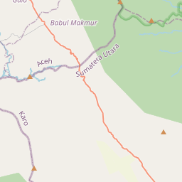
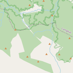
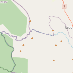
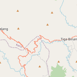
Mardingding is an isolated district of Karo Regency in North Sumatra. It lies 95 kilometres by broken road from Kabanjahe, the administrative centre of the Regency. The condition of the roads are so poor that some residents have planted bananas and cassava in the roads. It is not to be confused with Lake Mardingding, or Mardinding village, in Tiganderket District. Mardinding district borders Babul Makmur, Southeast Aceh Regency to the west, Langkat Regency to the north, and Tigabinanga District to the east. There are twelve desa within Mardingding District: Lau Solu, pop. 1,739 (2020 Census) Kuta Pengkih, pop. 2,103 Rimo Bunga, pop. 328 Lau Mulgap, pop. 1,300 Tanjung Pamah, pop. 907 Mardingding (capital), pop. 3,941 (6,208 inclusive of Lau Gurut and Bukit Makmur) Lau Kusumpat, pop. 1,348 Bandar Purba, pop. 1,098 Lau Pengulu, pop. 1,071 Lau Pakam, pop. 3,852 Lau Garut, pop. 1,424 Bukit Makmur, pop. 843 Lau Pakam is on the border with Aceh, and lies 40 km from Kutacane. The total population at the 2020 Census was 19,954, with a population density of 74.7 people/square kilometre. In 2007 there were 4,583 homes. 100% of the population were Indonesian citizens. Religious affiliations in 2007: 3,849 Muslims, 3,729 Catholics, 7,873 Protestants, 137 Hindus or Buddhists, 305 others. There are 8 mosques, 3 mushollas, 69 churches and 1 temple. In 2007, 94% of primary school age children were attending school, and 89% of high school age children. 73% of the population work in agriculture. The major crop was maize, with 14,671 hectares cultivated, and also rice, with 3,097 hectares wet rice and 585 hectares dry rice cultivated. In addition, 2,354 hectares of candlenut, and 635 hectares of cocoa were cultivated. Only a few, cottage, industries operate in Mardingding. There are 19 junior schools, 3 middle schools, and 0 high schools in...
Text: Wikipédia, CC BY-SA 4.0. ·
Related cards

Konotopie
Village in Kuyavian-Pomeranian Voivodeship, Poland
Nº Q6429667 ★★★

Colorado Plateau
Plateau in the Four Corners region of the Southwest United States
Nº Q925906 ★★★

Gdańsk Bay
Bay in the Baltic Sea adjoining the port of Gdańsk and stretching to Kaliningrad
Nº Q213367 ★★★

Immovable Ladder
Ladder on the Church of the Holy Sepulchre
Nº Q4316031 ★★★

North Island
More northern, and smaller, of the two main islands of New Zealand
Nº Q118863 ★★★

The Nose (El Capitan)
Rock climbing route on El Capitan
Nº Q2413145 ★★★